DAVENPORT, Iowa — We've been talking about the potential for a La Niña to develop across the globe for quite some time it seems. Confidence is growing that a 57% chance of a La Niña will develop soon. Warmer than normal waters signal El Niño conditions, while cooler waters fuel a La Niña pattern. A more neutral pattern has been set up since late summer, keeping our Pacific Ocean waters generally close to near or a little above average.
La Niña and El Niño
El Niño and La Niña are phases of ENSO—the El Niño-Southern Oscillation—a climate pattern marked by changes in the ocean temperatures in the eastern and central tropical Pacific Ocean. This year is a good example of how transitions between these phases don't happen quickly. Since the beginning of the year, we have gradually seen a shift from an El Niño pattern towards indications of a La Niña pattern.
Currently, we are in what the Climate Prediction Center calls an ENSO-neutral condition. What does that mean? That means that Pacific Ocean waters have been mostly near average.
Why so late?
Small and sudden shifts in ocean currents and winds can play a major part in ocean temperatures. Trade winds are responsible for cooling the sea surface, which has been weaker than normal. This has helped keep water temperatures located along the equator warmer than anticipated. With the current pattern currently neutral, we are stuck in a waiting period as conditions develop.
La Niña and impacts on our winter
With the late arrival of La Niña, it is anticipated to be weak. This is due to timing. Typically, ENSO patterns reach their peak strength during the winter months and only grow stronger throughout. With the late arrival, La Niña is running out of time to grow and strengthen.


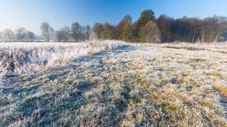
Forecasters predict that, with a weaker La Niña, conditions will favor equal chances of heavy precipitation and colder temperatures. On average, we see colder temperatures and snowier conditions during a La Niña event. However, keeping in mind the late arrival, it's possible that we could experience a shortened winter season. Current trends indicate that colder temperatures will return to the area by early December.
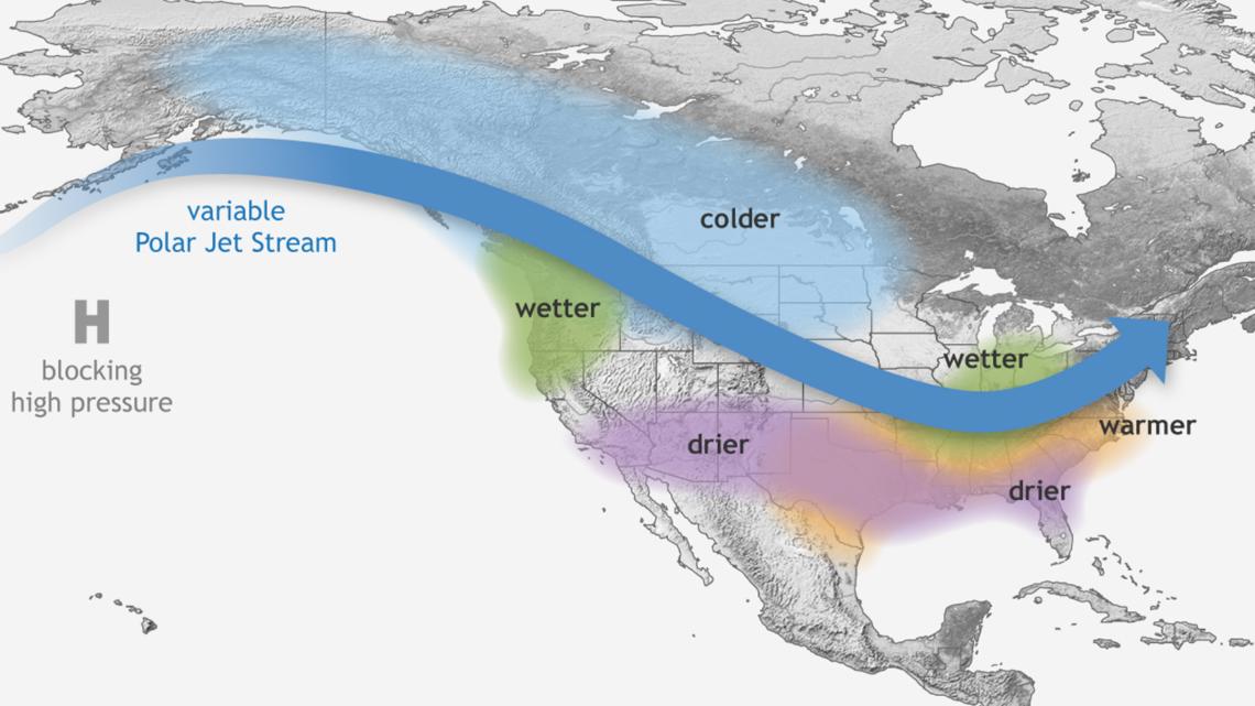
The polar jet stream typically sets up across the central U.S. during La Niña. One key thing to remember about jet streams is that this is where our storm systems travel. Consider it a conveyor belt for winter storms. With this setup, the Quad Cities could see an above-average chance of higher snowfall totals if the jet stream aligns just right. So, if you love winter, especially snow, stay tuned!


