Severe storms rolled through much of Eastern Iowa and Western Illinois Tuesday night. WQAD received dozens of great photos and videos of the clouds in advance of the storms. However, some folks mistook the incoming shelf cloud as a wall cloud.
Let's look at the characteristics of each.


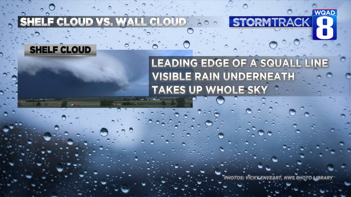
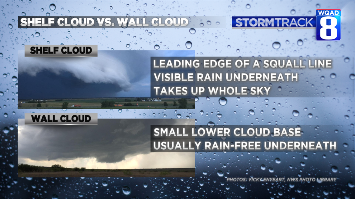
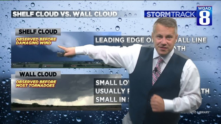
A shelf cloud is a wide, low-hanging base of a squall line. A squall line is an elongated thunderstorm that range from 50-200 miles long. Where storms exhibit an outward motion of air, shelf clouds can form. Sometimes called "mothership clouds," shelf clouds can be scary looking as they can take up the whole sky from left to right.
Shelf clouds are often the immediate precursor to damaging straight-line winds and torrential rains. Note: strong squall lines can produce tornadoes, however they aren't likely to be produced from pronounced wall clouds.


Wall clouds are one of the most important clouds to recognize because most tornadoes are formed with a wall cloud. Characteristics include a lowering of a rain-free base of the storm. Sometimes wall clouds can visibly rotate, but not always. They are usually quite small in relation to the rest of the storm and most times do not have rain coming out of them. Simply put, wall clouds are located under the updraft of a thunderstorm. Because the air is moving upwards, rain usually won't fall out of them.


Finally, the takeaway. If you see a shelf cloud, be ready for damaging straight-line winds, wind-driven rain, and even a rain-shrouded tornado. If you see a wall cloud, be ready for large hail and a possible tornado. Both of these clouds are associated with severe storm activity and shelter should be sought if you observe one.
-Meteorologist Eric Sorensen


