
MOLINE, Ill — Hi Folks!
An outstanding day it has turned out to be with plenty of sunshine, light breeze and temperatures already in the 70s. Some areas may reach 80 by later this afternoon!
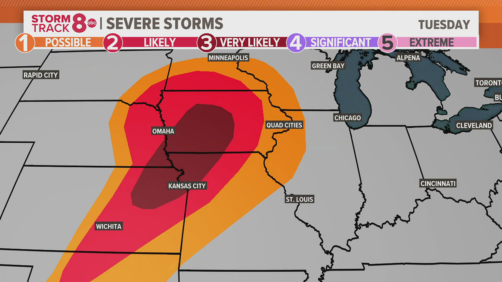
Clouds will be increasing by tonight as our next weather system races in from the west. Strong to severe thunderstorms will develop in western and central Iowa this evening and move east. However, by the time these storms arrive in our local area between 9pm and midnight, they would have weaken considerably. A good rush of wind or pea-sized hail can't be ruled out with one or two of these storms.
Dry skies will return by Wednesday with mostly sunny skies and highs in the 70s by the afternoon.
Clouds will once again increase by Wednesday evening as another system brings scattered showers and even a clap or thunder or two.
By Thursday, a couple of more rounds of showers and a few drenching thunderstorms will develop with a strong rush of wind and small hail the main threats.
We'll dry out on Friday and most of the weekend as I see a possible passing shower sometime later on Saturday. Highs during this period will average just over 70 degrees.
-Chief meteorologist James Zahara


Follow the StormTrack8 weather team on social media: