MOLINE, Ill. — The flood risk for the Mississippi River locally this spring is looking to be slightly above normal, according to the National Weather Service in the Quad Cities.
Matt Wilson, the senior service hydrologist with the local NWS, shared the station's data on flood risk — gathering data points from the multiple factors that it consists of.
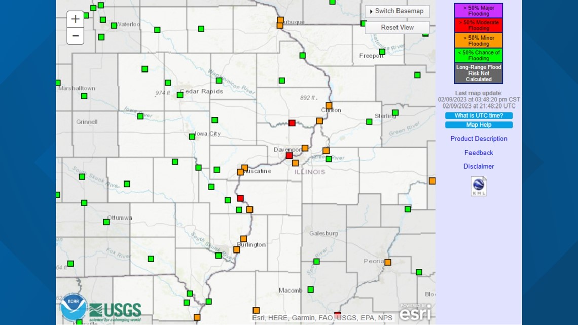
In simple terms, the risk of spring flooding on the Mississippi is above normal — the highest flood threat in the area — and near to below normal for smaller rivers like the Wapsipinicon and Rock Rivers. Experts are predicting minor to moderate flooding.
Slightly above-normal precipitation so far this winter and heavier snowpack in northern areas like Wisconsin and Minnesota are contributing factors to the higher threat. Those northern locations also have a higher depth of frozen ground — about 10 inches, so conditions in the north heavily influence the Mississippi's flood risk downstream.
In the QCA, though, the depth of frozen ground is about 2 to 6 inches — significantly lower. Soil moisture is also sitting lower in our area. This means that the ground around here is able to absorb moisture much easier, which could lower the risk of heavier flooding.
For the rest of winter, general conditions are expected to be fairly average, except for the chances of higher precipitation toward the end of February.
Every station on the Mississippi River in the area predicts at least a 50% chance of moderate flooding


The area of the Mississippi from Burlington to Davenport, as well as parts of the Wapsipinicon, have about a 25% chance of major flooding.
Other rivers, like the Rock, La Moine, Pecatonica, Wapsipinicon, and Fox, face a near-average amount of flooding.
This calculation is still subject to variance in several factors that aren't yet set in stone, like the rate of snowmelt, the amount of snowfall remaining this winter and early spring rains.
Watch more news, weather and sports on News 8's YouTube channel

