DAVENPORT, Iowa — Winter is quickly moving along here in the Quad Cities and now that we're in the month of February it's time to start taking a look at our upcoming river flooding risk for the spring season.
The National Weather Service in the Quad Cities will release the first spring flood outlook on Thursday, February 11th. The outlook will show probabilities for flooding encompassing all of our area rivers, including the Rock and Mississippi Rivers.
This outlook is put together using various data sets including current river levels, current frost depth, current soil moisture levels, and snowpack data from not only here in the Quad Cities, but also from areas to the north where the Mississippi River runs through.
Jessica Brooks, a Service Hydrologist with the National Weather Service forecast office in the Quad Cities, says she expects near to above-normal risks for river flooding this spring.
"This is an interesting year for sure. With a really good snowpack (and a deep layer of ice) across the local area I'm thinking when the numbers come out we're going to be at near to above normal for most of our local rivers", says Brooks.


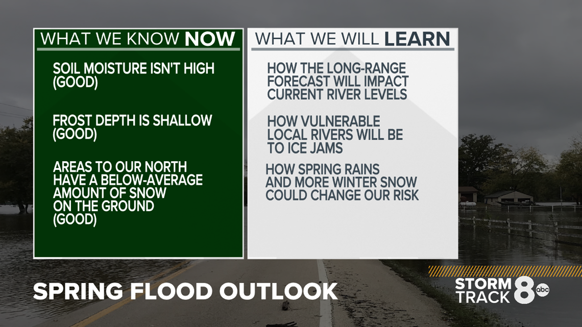
Here's what we know right now: Our soil moisture levels are not very high. That means the ground isn't fully saturated with water and will be able to handle some snowmelt and rainfall in the coming weeks.
The frost depth is also not extremely deep. Thanks to a warmer than normal winter season so far, frost hasn't had a lot of time to become well established. While we will see much colder conditions heading into the end of the week (February 4-10) the snowpack will act as an insulator, keeping the ground warm.
Looking at our neighbors to the north, the snowpack is currently running below-average for much of Minnesota and Wisconsin. That's good news when it comes time to melt it! However, this can and likely will change in the weeks ahead, so it's worth watching!
"For the Mississippi, much of the upper parts of the watershed have below-normal snowpack at this time (our swath from Iowa into northern Illinois is the only area above normal) so I'd tend to think the numbers, especially upstream of us here will be below normal, locally and downstream the probabilities might go up a bit," Brooks said.
In short, we need to keep a close eye on the amount of snow we pick up in the next few weeks in addition to spring rainfall. Should we keep a decent snowpack on the ground, that will further insulate the ground and likely mitigate some of our flood risk. We'll also be watching the snow situation to our north as well.
After the first flood outlook on February 11, we'll see at least two more follow up outlooks. One is scheduled for February 25 and the final outlook on March 11.

