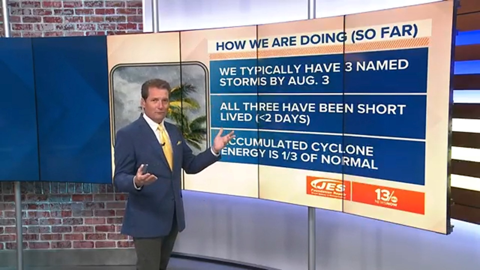
MOLINE, Ill. — The United States is two months into hurricane season, and, so far, there have only been three named storms. The last one that made landfall was Tropical Storm Colin, which hit the Carolinas with heavy rainfall in early July. If another tropical storm doesn't form by August 3rd, it will be the fifth time in three decades that we have not any tropical storms during that time.
Although it's a slow start, that doesn't mean it will be a below-average hurricane season. With hurricane season lasting through October, the Hurricane Prediction Center (HPC) is predicting that this year will carry on with an above-average hurricane season.
Hurricane expert Michael Ventrice told Forbes in early July that the suppressed phase of the Madden-Julian Oscillation (MJO), a major fluctuation in tropical weather areas, will be propagating over Africa and the Indian Ocean over the next few weeks, which will quiet down the Atlantic basin. He then stated that the active phase of the MJO could push back over the Atlantic and Indian oceans during the first half of August, which could lead to a burst of Atlantic hurricanes in the second or third week of August.
The MJO is an eastward moving disturbance of clouds, rainfall, winds, and pressure that traverse the planet in the tropics.
Another reason why the season is starting so slow would be dry air in the middle regions of the atmosphere. The driest air is associated with African dust from the Sahel region, which often drifts over the Atlantic basin during this time of year, which is known as the Sharan Air Layer (SAL). The SAL is not only dry, but it also has a high wind shear that prevents hurricanes from forming.
Once the MJO pattern changes and the SAL wanes, that's when we're likely to see an uptick in hurricanes.

