MEDIAPOLIS, Iowa — After a nearly three-week break from severe weather, Mother Nature released a new round of severe thunderstorms on the Quad Cities Tuesday. The storms prompted a tornado watch and eventually a string of tornado warnings, including in the Iowa Quad Cities metro area.
The Storm Track 8 team had been tracking this potential since the week before, with the threat increasing into the weekend leading up to Tuesday's storms.
Strong spring system fueled damaging storms
A strong spring low-pressure system moved into parts of Nebraska and northwest Iowa Tuesday afternoon bringing with it warm temperatures and increased moisture. A weaker line of showers and thunderstorms moved into the Quad Cities late Tuesday morning.
However, that wasn't enough to dampen the potential for stronger activity later in the afternoon. By shortly after noon, a tornado watch was issued for the entire Quad Cities region through 8 pm.


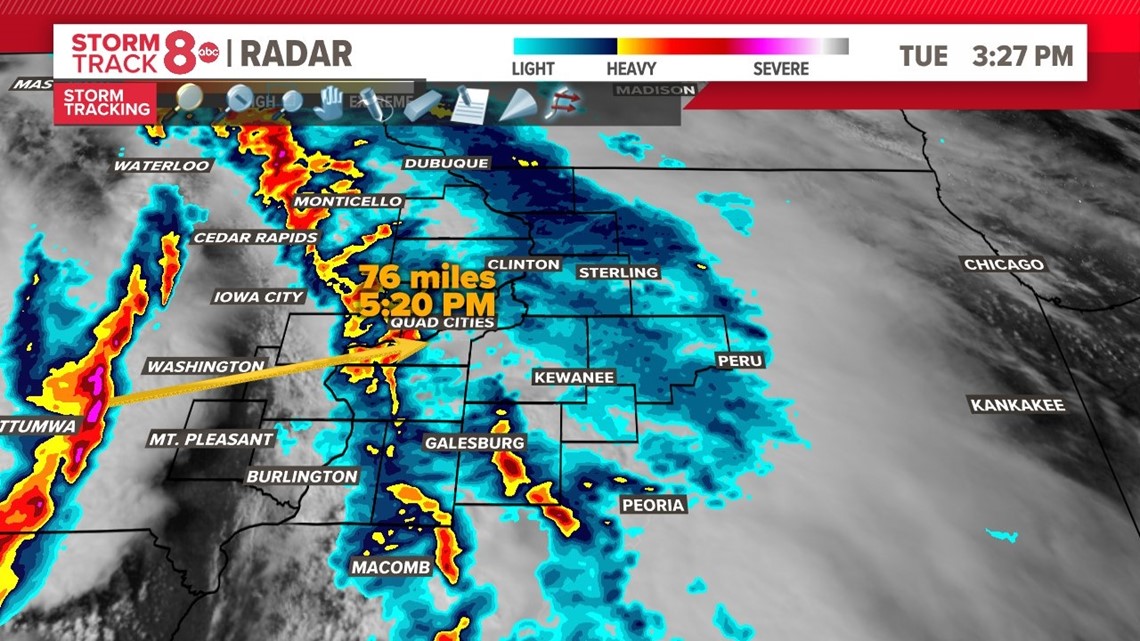
Late Tuesday afternoon, satellite and radar showed substantial clearing ahead of the second line of storms, allowing them to continue strengthening as they moved east out of eastern Iowa heading towards the Mount Pleasant and Burlington region. One storm in particular passed through Henry County, Iowa, producing a confirmed tornado near Salem, Houghton, and Mediapolis.
National Weather Service confirms EF-2 damage
Meteorologists with the National Weather Service in the Quad Cities surveyed damage in Henry County, Iowa, where the tornado touched down.
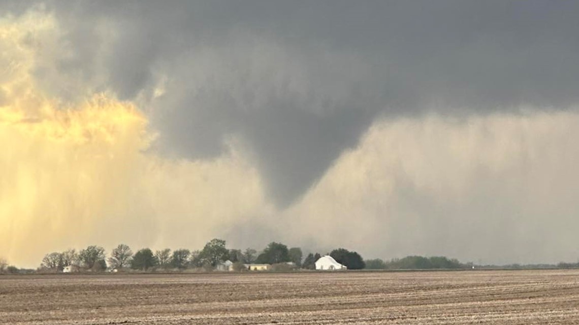
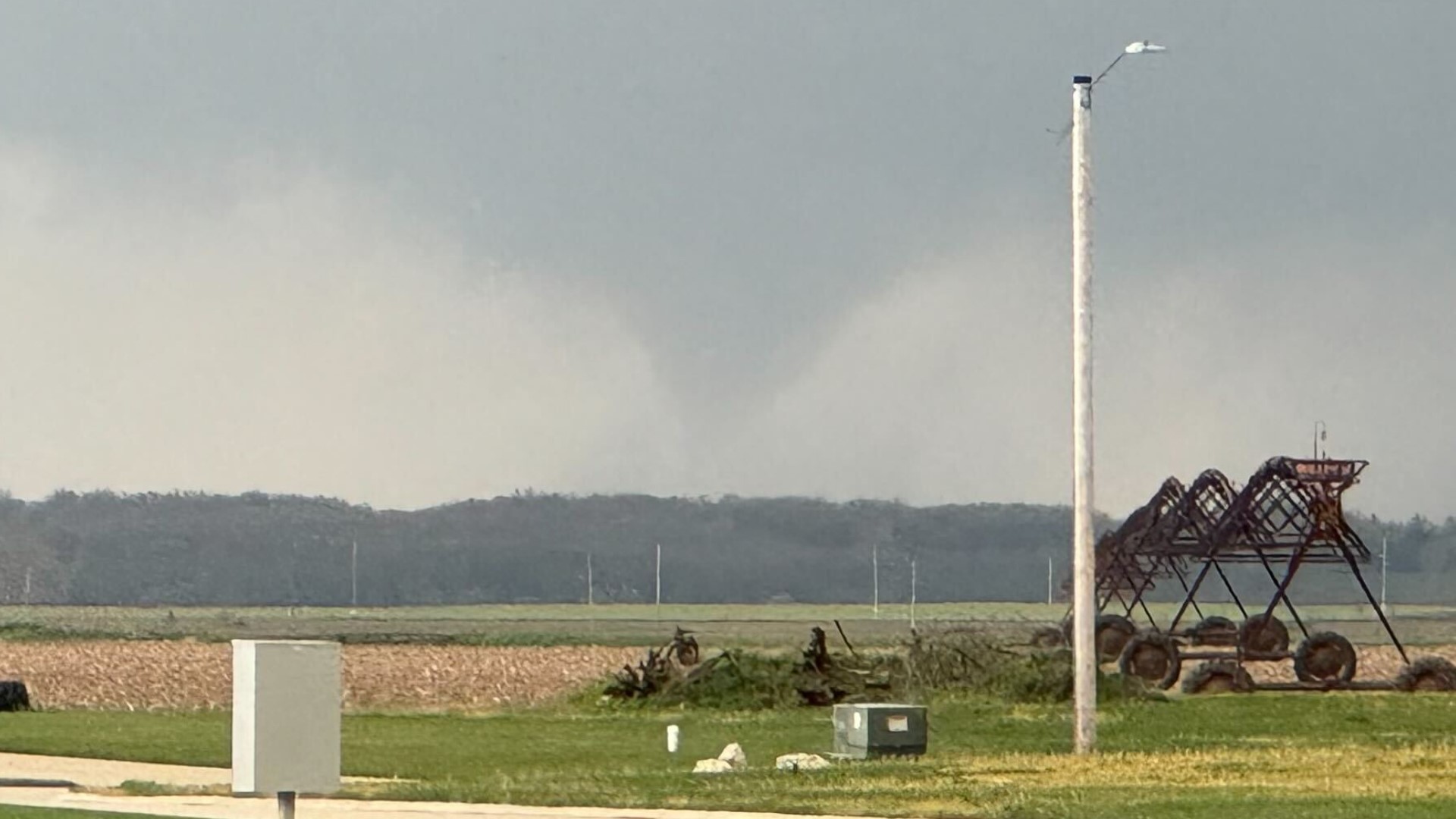
Storm Track 8 Meteorologists Morgan Strackbein and Evan Bunkers managed to witness the tornado near Mediapolis.


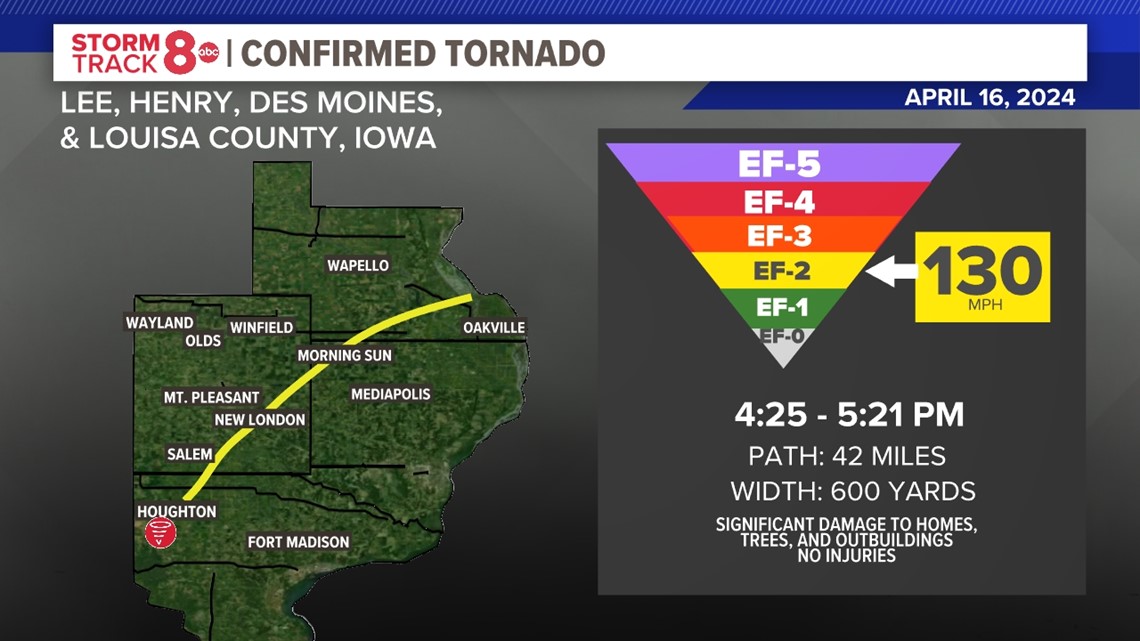
The tornado formed just southwest of Houghton, Iowa in Lee County. The tornado tracked northeast for 42 miles passing through New London and southeast of Yarmouth, Iowa. The tornado dissipated near where the Iowa and Mississippi Rivers meet in Louisa County. The width of the tornado equates to roughly 6 football fields with maximum winds of 130 MPH.
Significant damage to homes, trees and outbuildings was seen. The worst of the damage was seen at a farmstead near New London in Henry County, Iowa. A roof was ripped off a brick house and one of the exterior walls collapsed, as well as the garage destroyed.
A vehicle was also blown off the road near Morning Sun, Iowa.


We will continue to monitor updates from the National Weather Service.

