x
Breaking News
More () »

River levels along the Mississippi: LIST

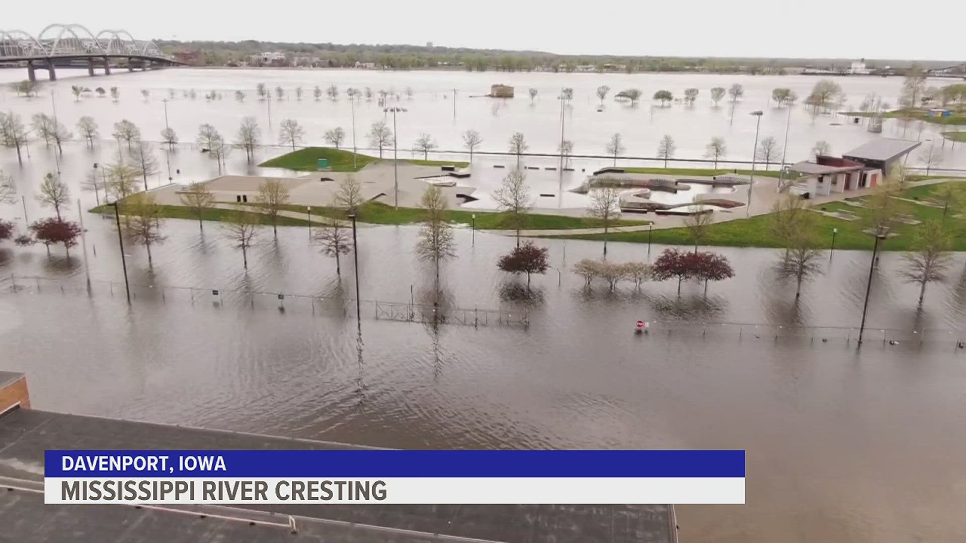
The National Weather Service updates river levels frequently. Here's where you can check the gauges.

ROCK ISLAND, Ill. — The Mississippi River flows from Minnesota all the way down to Louisiana, but the National Weather Service of the Quad Cities only measures river levels from McGregor, Iowa to Canton, Missouri. 

Below you'll find a list of gauges along the Mississippi River that impact the Quad Cities area. 

Mississippi River gauges

McGregor, Iowa

Guttenburg, Iowa

Dubuque (LD11), Iowa

Dubuque (RR Bridge), Iowa

Bellevue, Iowa

Fulton, Illinois

Camanche, Iowa

Le Claire, Iowa

Rock Island, Illinois

Illinois City, Illinois

Muscatine, Iowa

New Boston, Illinois

Keithsburg, Illinois

Gladstone, Illinois

Burlington, Iowa

Keokuk, Iowa

Gregory Landing, Missouri

Canton, Missouri

Watch more news, weather and sports on News 8's YouTube channel


Before You Leave, Check This Out