ROCK ISLAND ARSENAL, Ill. — For the past few weeks, the U.S. Army Corps of Engineers have been closely watching the rising Mississippi River.
"We activated our emergency operations center on the 10th of April," said Col. Jesse Curry, the Rock Island District district commander. "That is really pulling on the entire Rock Island District, which has a lot of missions throughout the area. But (also) bringing together a lot of extra folks in order to focus on the flood."
Some are working with the operations center to monitor information, while others are working with city and town leaders on their levee and barrier systems.
"We have professionals within the Rock Island District that we call flood fight engineers and they work with levee sponsors, with local communities up and down the entire river basin in order to help them prepare their levees for floods," Curry said. "Folks that are out meeting with levee sponsors, walking levees, really doing everything we can to know where the problems are, to know where the vulnerabilities are, and looking into where we can also bring to bear some resources and some expertise to help improve that fight."
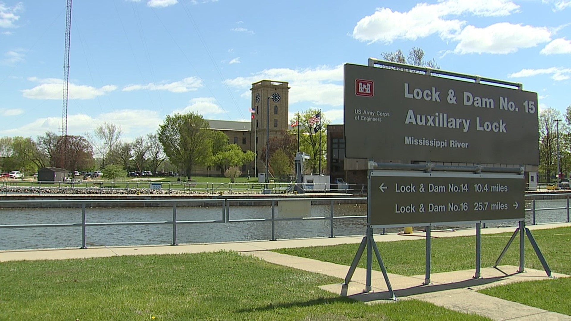
There's also a river level gauge at Lock & Dam No. 15 that gets monitored and reported.
The lack of heavy rain during and leading up to the flood has made the Corps of Engineers' role a bit easier this year.
"Flooding can be common, but I will also add that every flood is different, so things are going very well thing year," Curry said. "Because this is all flooding resulting from snow melt out of Minnesota and Wisconsin, it's been very predictable. We've been able to get ahead and prepare as the crest made its way south. But additionally, it's taken away a lot of those other variables, which includes difficult weather to operate in that would make our response and our support to the local communities that much harder."
Even as the river reaches its crest in Rock Island on Monday, it doesn't mean there are no challenges still ahead, Curry said. However, he's optimistic about the success of the flood response this year.
"We're in a much better position this year than we were in 2019," he said. "As you make your way throughout the different communities and talk to their mayors, talking to their city planners and Public Works directors, everyone learned a lot from 2019. And in many places, those lessons have been put into practice and some of the flood walls and structures and some of the procedures."
Another thing the Corps of Engineers has noticed that is different about the 2023 flood is a large amount of debris. Curry said there's been "gigantic trees" and root balls floating down the river.
"We're seeing a higher amount than normal," Curry said. "There's a couple of theories for why that may or may be, particularly some of the areas that flooded in 2019. That extended amount of flood where the water was at a high level for an extended period of time did cause trees to die and caused some damage to those areas that this flood may be washing down those dead trees."
Once the water recedes, crews will watch closely to see where it ends up. He said crews will assess any damage to recreational sites that were underwater, as well as the locks and dam system.
The Corps of Engineers has closed many of the locks and dams along the Mississippi River due to high water levels for the next few weeks. In the Rock Island District, almost every one is closed between Lock & Dam No. 11 in Dubuque through Lock & Dam No. 22 in New London, Missouri. Lock & Dam No. 19 in Keokuk is open. Lock & Dam No. 21 in Quincy and Lock & Dam No. 22 are open currently, but closure is possible on Friday, May 5 due to high water.
Watch more news, weather and sports on News 8's YouTube channel

