MOLINE, Ill. — Editor's note: The video above is the forecast for Friday, Feb. 17.
Folks in the Quad Cities are preparing for a winter storm to hit Thursday, disrupting travel in the morning commute through the evening. StormTrack8 has been watching the system's development and is ready to provide you with real-time updates as the storm moves through the area.
Stay weather aware this week
Updates
5:47 a.m. Friday | Snowfall reports across the Quad Cities
Snowfall totals were on the low end for Illinois, but most northwest hometowns were on track with the forecast. Here are the totals:
- Davenport: 3.9"
- Bettendorf: 4.9"
- Eldridge: 4.5"
- Maquoketa: 7.5"
- Rock Island: 2.3"
- Mount Carroll: 5.5"
- Moline: 3.1"
- Cambridge: 1"
- Geneseo: 1.2"
- Morrison: 3.5"
9:00 p.m. | The Iowa State Patrol responded to 157 crashes from midnight to 9 p.m. on Thursday.
8:52 p.m. | Finally, time for some good news: Over the weekend, the temperatures will rise significantly and melt most of the snow away!
8:40 p.m. | Road conditions are slowly improving, especially in Iowa. However, travelers should be careful of icy roads Friday morning.
7:25 p.m. | Snow accumulation is coming to a close in Iowa as the snow band moves east.
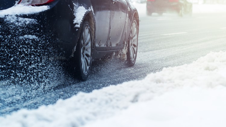
6:30 p.m. | As the night progresses, snow is starting to stick on untreated roads and make them slippery.
6:00 p.m. | The Beast went live on the Illinois side as the crew was encountering a perfect example of the poor visibility and snow-covered roads making travel hazardous.
5:56 p.m.| The NWS expects 1-3 more inches of snow in the QCA through the early evening.
5:34 p.m. | Road conditions are going to remain in poor condition through the early evening hours.
5:13 p.m. | NWS QC estimates that this snow band is dropping one to two inches of snow per hour
5:00 p.m. | The Beast went live from the northern Iowa QCA surveying the road conditions as thick snow continues to fall
4:40 P.M. | Roads are still slick and snow-covered
4:13 p.m. | The Iowa State Patrol responded to almost 100 crashed from midnight to 3 p.m.
3:42 p.m. | One more band of snow is moving eastward, roads remain covered
3:00 p.m. | Road condition update
2:30 p.m. | Road condition update, visibility a problem in some areas
1:46 p.m. | Road conditions update, I-80 north of Bettendorf reopens
Iowa's 511 site says the roadway between exit 301 at Middle Road and exit 298 Davenport has since reopened. There is still a 6-minute delay for travelers.
Another band of moderate-to-heavy snow is moving in from the west, which can drop another 1-3 inches. If you have to travel, take it slow!
1:13 p.m. | Several crashes reported across Iowa
I-80 westbound just north of Bettendorf is closed due to a crash. The area is between exit 301 at Middle Road and exit 298 in Davenport, according to 511ia.org.
Another crash north of Walcott has blocked the left shoulder. That crash is between I-280 and exit 284 County Road Y40.
12:18 p.m. | Heavy snow makes its way into the QC, Iowa DOT reminds drivers to pay attention on the roads
Snow and at times a wintry mix will continue through the afternoon.
The Iowa DOT reminded folks that they must be careful driving around snowplows.
12:07 p.m. | Winter weather creeps further north
The Iowa DOT has more than 300 plows out across the state. Roads in the Quad Cities appear to be partially covered.
11:14 a.m. | Snow will continue into the afternoon hours
NWS says the system is expected to move across parts of east central Iowa later Thursday afternoon.
11:04 a.m. | Snowplow update in Iowa City
The Iowa DOT advises folks to not travel. If you must, take it slow and make sure you have a safety kit packed.
10:50 a.m. | Iowa State Patrol responds to 99 calls for service
All of the calls happened between midnight and 10:30 a.m.
10:32 a.m. | Roads are treacherous!
Most of eastern Iowa and northwest Illinois reported completely snow- or ice-covered roads.
10:15 a.m. | Live weather update from StormTrack8's Andrew Stutzke
We'll be live on our YouTube channel with a discussion about Thursday's storm. Join us below!
10:00 a.m. | Road condition update from Iowa State Patrol, DOT
Lots of roads are completely covered in snow. Make sure you're taking it slow if you must travel!
9:25 a.m. | Snowfall totals so far ...
The area is on track to have the most snowfall this season!
9:16 a.m. | Radar update from NWS
A mix of freezing rain, sleet and snow in far southeast Iowa is moving into west central Illinois.
8:50 a.m. | Storm heads closer to the QC, snow begins falling in the metro
We finally have some snow! Send your pics to us via our app or text us at 309-304-0888.
8:24 a.m. | NWS provides radar update
Significant winter weather continues across eastern Iowa into Illinois. Impacts include hazardous travel conditions and low visibility due to snow.
7:54 a.m. | Visibility improves around Iowa City as snow heads closer to the Quad Cities
7:46 a.m. | Travel not advised in the Iowa City area
The NWS says the band of snow is still on its way to the Quad Cities.
7:15 a.m. | Iowa DOT checks in with road condition update from Iowa City
Ice and sleet are seen accumulating on one of the DOT's snowplows. Travel is not advised in the area.
6:40 a.m. | Road conditions continue to deteriorate on the Iowa side
NWS says a band of moderate-to-heavy snow remains in place west of the Quad Cities area Thursday morning.
6:12 a.m. | Many schools are closing Thursday
You can find a full list of closings and delays by clicking/tapping here.
5:53 a.m. | Not much snow in the Quad Cities, yet
StormTrack8's Andrew Stutzke says snow will likely hit the QC metro after 9 a.m.
5:36 a.m. | Widespread snow will hit early-to-midmorning across the area
The NWS says conditions will deteriorate rapidly with periods of moderate-to-heavy snow and significant blowing and drifting in rural and open areas. Travel is not advised!
5:19 a.m. | Some mixed precipitation is expected in locations south, southeast of the QC
The NWS says 3-5 inches are expected across the area. A narrow band of 5-8 inches is also likely. The NWS also believes snow will be slower to end on Thursday. Strong winds up to 35 mph could blow it around and cause drifts Thursday night.
5:10 a.m. | Road conditions continue to deteriorate west of the QC
The NWS says a band of moderate-to-heavy snow is still heading toward the Quad Cities.
3:06 a.m. | Slippery roads reported near Washington, Iowa City
The National Weather Service of the Quad Cities reported some slippery conditions in eastern Iowa Thursday morning. Many roads were completely covered with snow.
Watch more storm coverage on News 8's YouTube channel


