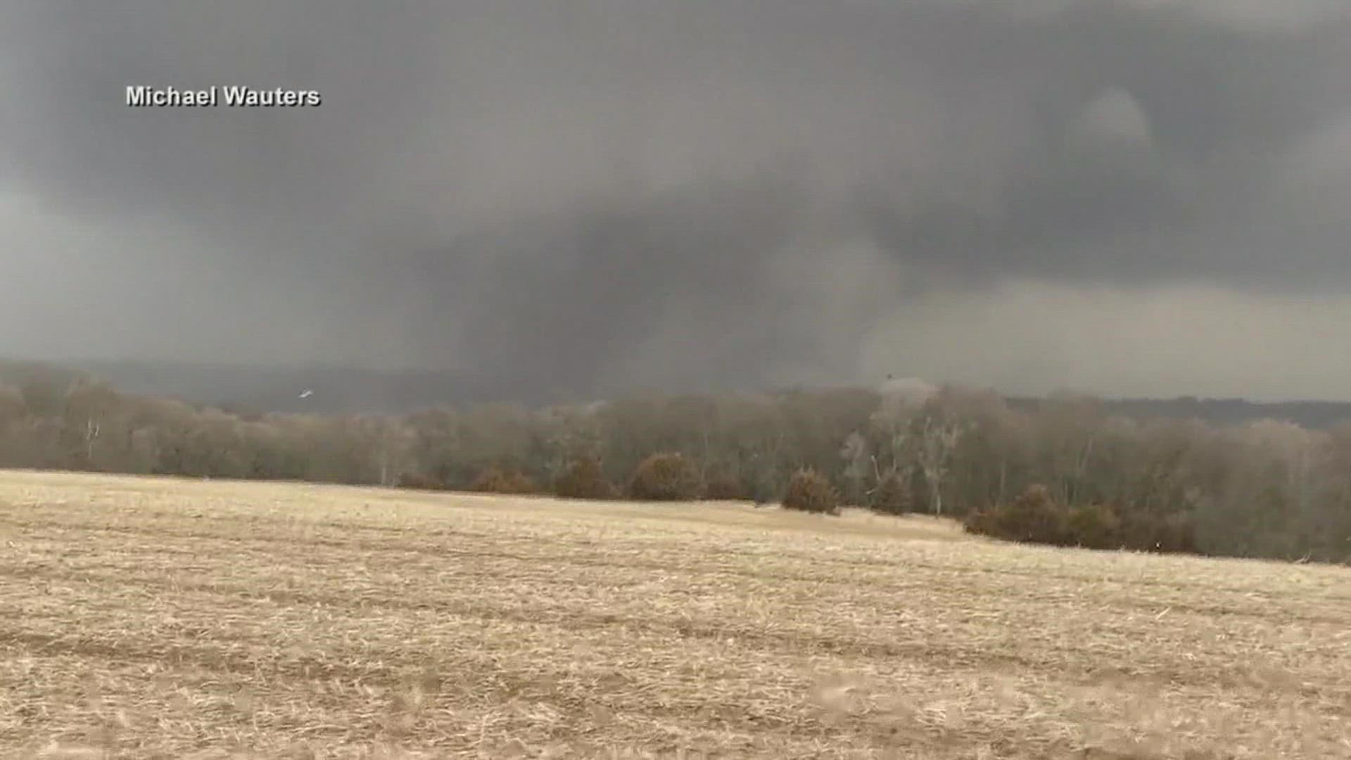
IOWA, USA — EDITOR'S NOTE: The above video is from Local 5 News at 5 (March 7, 2022).
An EF-4 tornado hit Winterset before continuing on to Norwalk, Pleasant Hill and Newton among other central Iowa communities on Saturday afternoon, the National Weather Service confirmed.
NWS Des Moines says the EF-4 tornado first touched down at 4:26 p.m. Saturday roughly two miles north of Macksburg in Madison County.
The tornado stayed on the ground until 6:01 p.m. Saturday when it lifted about three miles northeast of Newton in Jasper County.
Although EF-4 damage was reported in Winterset, the National Weather Service says damage in Norwalk and Pleasant Hill was consistent with an EF-2 tornado, while Newton experienced up to EF-1 damage.
This tornado remained on the ground for 69.5 miles and had estimated peak winds at 170 mph, according to a survey from the National Weather Service.
At its largest point, the tornado had a width of at least 800 yards.
Six deaths were confirmed as a result of this tornado, and five additional injuries were reported.
Severe damage occurred as a result of this tornado, especially in Winterset.
This is the first EF-4 tornado in Iowa since a twister hit Woodbury and Cherokee Counties on Oct. 4, 2013.
Additionally, this EF-4 tornado was only Iowa's third F-4/EF-4 tornado in March on record, with the only others occurring on March 29, 1979 and March 13, 1990.
It is also the second-longest a tornado has stayed on the ground continuously in Iowa since 1980, coming in behind a 117-mile tornado in southern Iowa on June 7, 1984.
The information released from the National Weather Service is preliminary and subject to change in the future, particularly as additional storm data is analyzed and evaluated.

