Even though it’s just now starting to make the news, El Niño actually began very early this year. New information released by NOAA shows this year’s El Niño continuing to get stronger and that means big implications for this upcoming Winter.
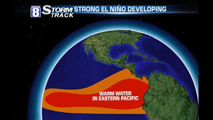
El Niño is when the water in the Pacific Ocean along the equator is warmer than normal. Inversely, a La Niña is when the water is cooler than normal. The whole process of the warming and cooling of the water is called the El Niño Southern Oscillation, or ENSO. It’s a fairly new phenomenon, only being studied within the last 30 years or so.
Strong La Niñas have been associated with more volatile weather patterns across North America, including tornado outbreaks. El Niños are most noticeable during the Winter months. The latest ENSO outlook shows an almost certain El Niño for the Winter of 2015/2016. Some predict it could even be a record-breaking El Niño…stronger than what we had in 1997/1998!


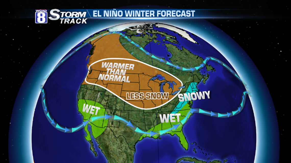
El Niño could be very good news for California, dealing with the worst drought in state history. With a split-flow in the jet stream, an active jet would bring more frequent storm systems to the Desert Southwest. Considering California is where a lot of our fruits and vegetables come from, this would be very good news for prices at the grocery store. A weak ridge would then be seen across Texas (drier) with wetter than normal conditions from Louisiana all the way through the Eastern Seaboard. For snow lovers, an El Niño isn’t terrible news. But that would only be for people in West Virginia up into Southern New England.
Most notable for El Niño is a lack of storms for the central part of the continent. As drought conditions plague the Pacific Northwest, this could be bad news as a snowpack is needed to get things back to normal. Also, many places in the west have been seeing wildfires. Burn areas that see rain versus snow could be prone to mudslides and higher impacts.
In the Midwestern United States, El Niño almost always means less snow. However, there are a few El Niño winters that buck the trend. Quite simply put, if we have a few huge winter storms in a season, it’s possible to have an above-average snow with less frequent snow systems. But overwhelming years have seen a lot less snow and warmer temperatures as the polar branch of the jet stream remains across Hudson Bay, dipping into the Canadian maritimes.
We will continue to update the forecast as new information comes in but this may not be the best news for people who make money shoveling snow or enjoying snowmobiling and skiing.
-Meteorologist Eric Sorensen


