ANNAWAN, Ill. — Several days of record warmth, including nearly touching 80 degrees on Tuesday afternoon helped set the stage for a rare late February tornado in the Quad Cities region. This is only the second time since 1950 that the region has experienced tornadoes during the month of February. Ironically, the first occurrence was in February of 2017, another year that featured record warmth during the month with multiple days logging temperatures into the 70s.
Here's what we know about the severe storms that raced through our region Tuesday night.
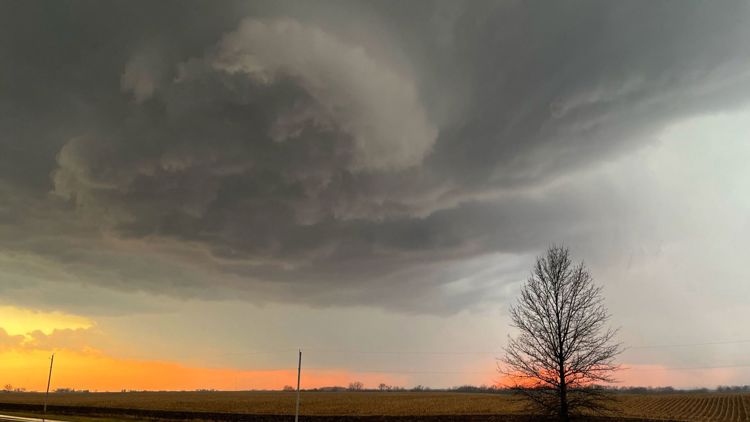
Tornado in Henry County, Illinois
The first tornado warning was issued by the National Weather Service in the Quad Cities at 5:28 p.m. for parts of Henry County, Illinois, with Doppler radar indicating a possible tornado developing northwest of Cambridge. By 5:56 pm, a confirmed tornado was located south of Atkinson heading northeast toward Annawan.

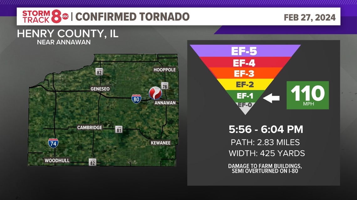
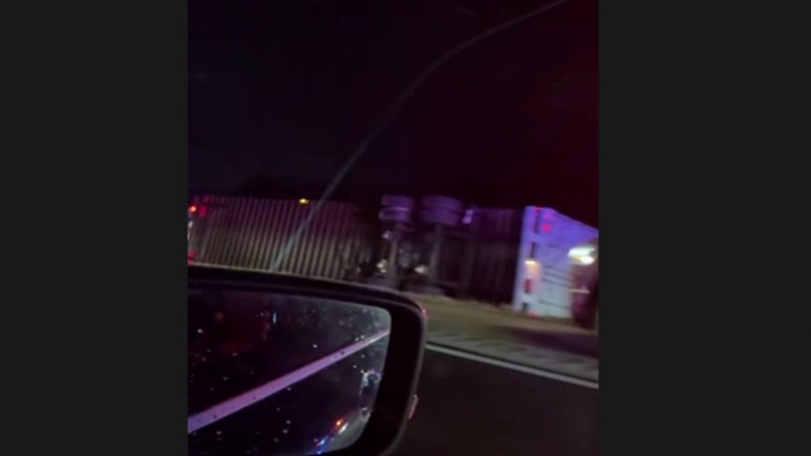
The National Weather Service conducted a survey and concluded an EF-1 tornado touched down about four miles west of Annawan around 5:56 p.m. During the twister's eight minutes on the ground, it destroyed a shop in its path and flipped over a semi on Interstate 80, before dissipating around 6:04 p.m.

The tornado reached a width of 425 yards, had peak winds of 110 mph and traveled for almost three miles. It caused damage to tree limbs as well as siding and shingles to a few homesteads properties.
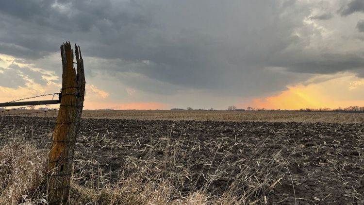
Additional tornado warnings were issued as the storm continued northeast through Bureau County, however, other than quarter-size hail, no damage or tornadoes have been reported at this time.
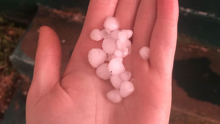
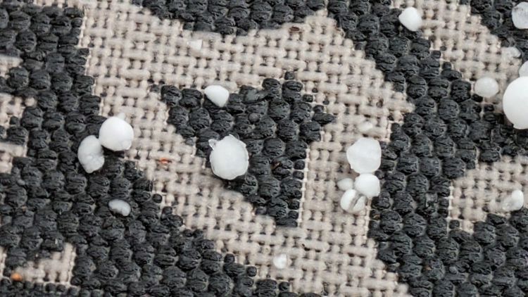
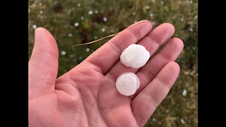
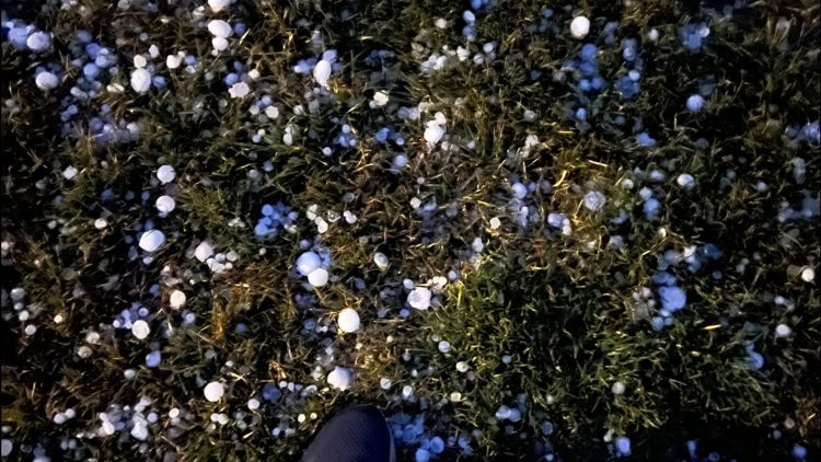
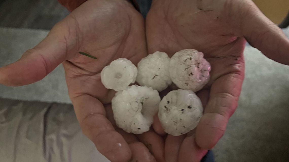
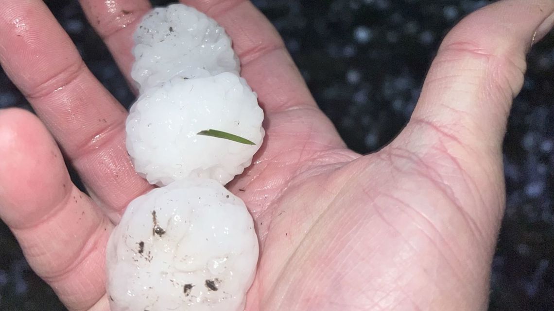
Storms produced large hail
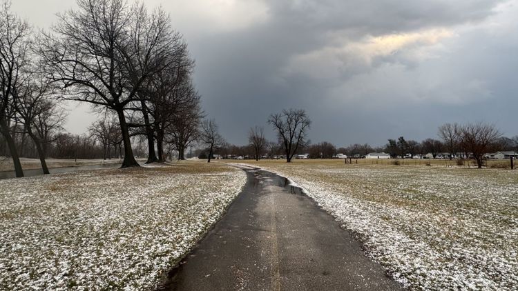
In addition to a couple of tornadoes, storms also brought a wide range of hail to much of the region. Several reports of quarter and even golf-ball-size hail were received. The timing of these storms forming in February meant plenty of cold air was available for them to take advantage of, spawning some of the larger hail reports. Here are a few notable reports from around the region.
- 1.00" (Quarter size) near Leon Corners, Illinois
- 1.75" (Golf ball size) near Geneseo, Illinois
- 1.50" (Ping pong ball size) near Atkinson, Illinois
- You can view a complete list of hail reports, here.

Why we expect an active severe weather season ahead
El Niño, which has been responsible for a warmer-than-average winter season, is forecast to collapse by May rapidly. Even while in transition, impacts on the overall weather patterns are expected for the upcoming spring and summer seasons.

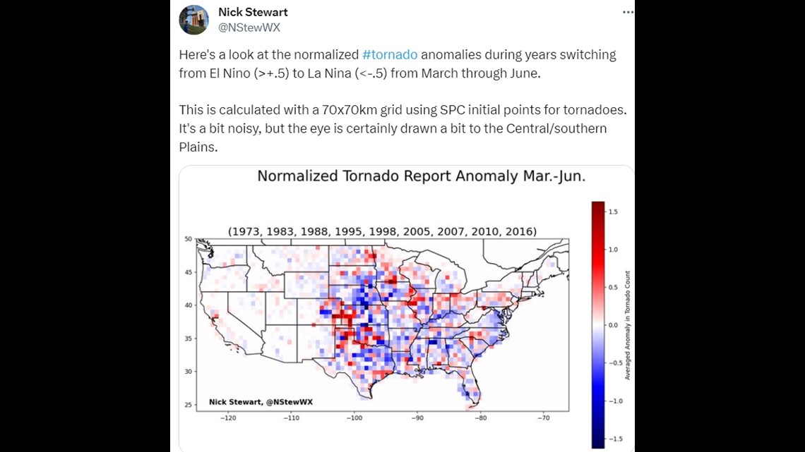
For example, some areas of the United States will likely see a busier severe weather season, including much of the plains and Midwest. Meteorologist Nick Stewart crunched some of the tornado data dating back to past El Niño to La Niña transition years. He found that activity generally increased in the central and southern plains states, including right here in the heart of the Quad Cities.
Remember to download the Storm Track 8 App on your phone where you can get the latest forecast, severe weather alerts for your location, and even street-level radar data, for free! Download for Apple or Android.