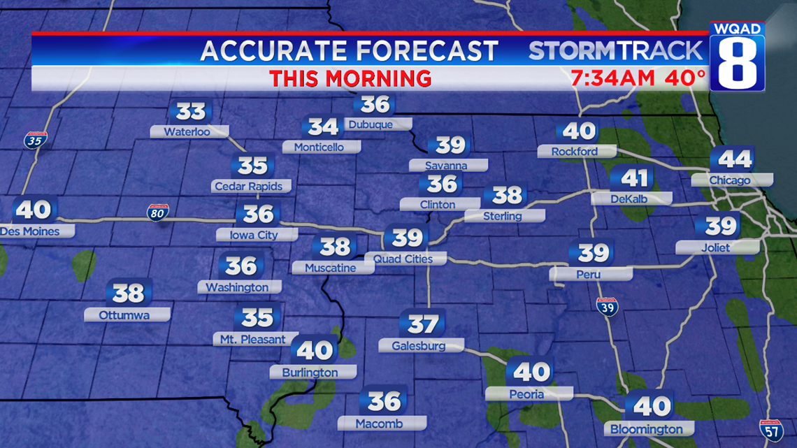
Welcome to Fall! Temperatures were cold enough for patchy frost this morning with temperatures in the middle 30s across parts of Eastern Iowa and Western Illinois. Urban areas were just a few degrees warmer, preventing any frost formation.
But have you ever wondered how frost forms? And more specifically, how it forms even with air temperatures well above freezing?
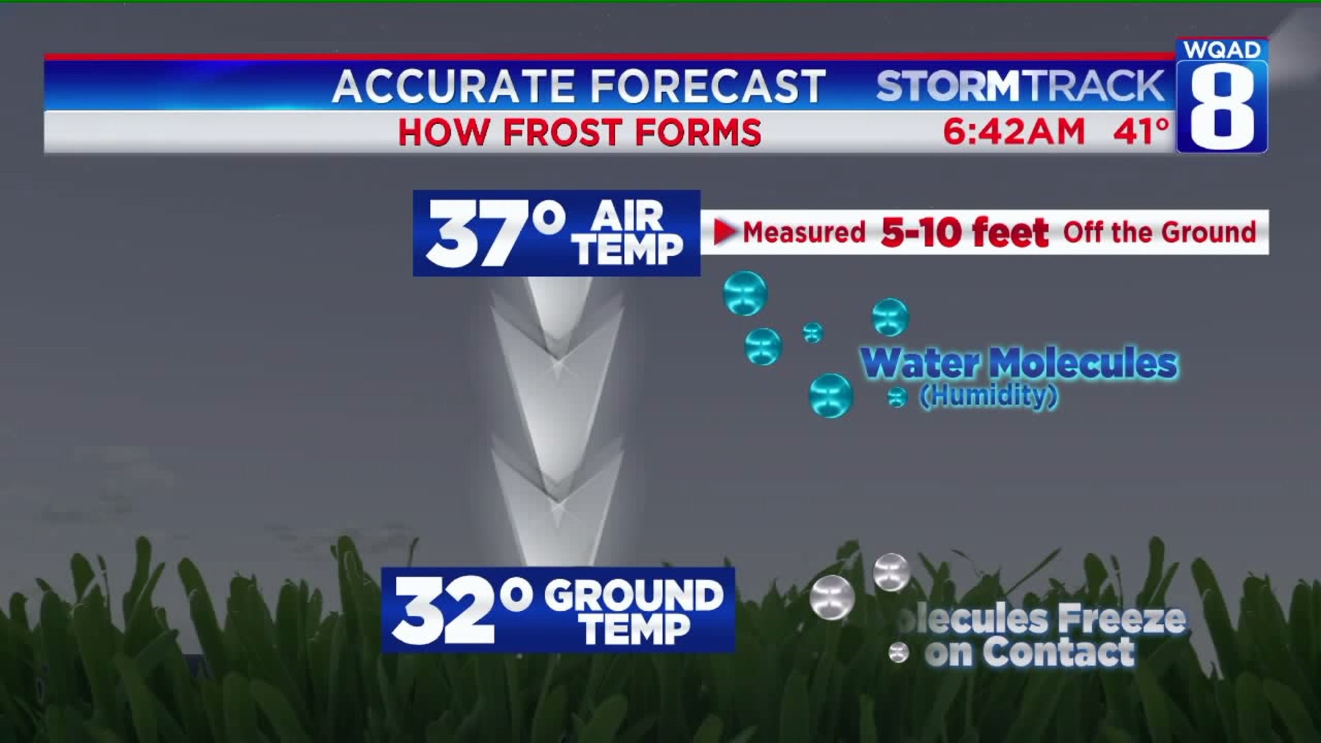
Consider for a moment that when Meteorologists give the temperature on broadcasts, it's a level of air temperature...not ground temperature. Typically, air temperatures are measured 5-10 feet off of the ground in shady areas. During the morning hours, frost can begin to form with temperatures as warm as 37 degrees. If it's 37 degrees at 5-10 feet above ground, it is almost always colder down at ground-level. That can cause frost to form car windows, grass, and slightly-elevated surfaces that have dipped to the 32-degree mark.
If you didn't see frost this morning, you'll likely be waiting a week to a week and a half! October 28th is our next shot at air cold enough for widespread frost. That will be a few weeks behind schedule. Anytime into October is fair game for frost in Eastern Iowa and Western Illinois.
-Meteorologist Eric Sorensen


