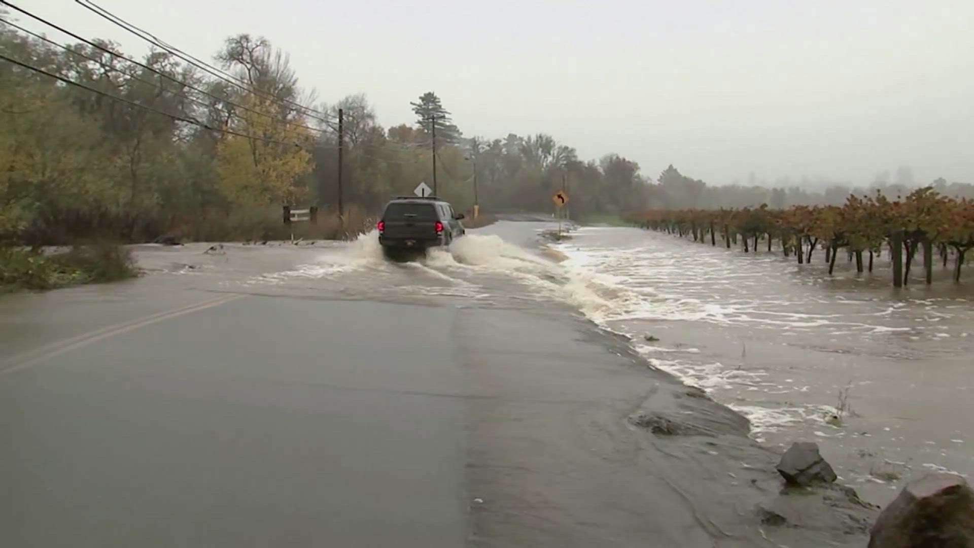
AVON, Illinois — A round of early morning severe weather moved through parts of the Quad Cities region early Thursday morning, bringing reports of hail and even a confirmed tornado near Avon, Illinois. The storm was the result of a strong storm system taking advantage of warmer-than-normal temperatures sitting across the region.
The Storm Prediction Center issued a severe thunderstorm watch for the area around 3:15 am, advising that storms could produce large hail, strong wind gusts, and an isolated tornado. A tornado warning was issued for the Avon area around 4:25 am, at which time the National Weather Service advised a tornado was also possible with the incoming storm.
The National Weather Service in the Quad Cities later confirmed Friday afternoon that an EF-1 tornado with winds up to 110 mph touched down near Avon, Illinois very early Thursday morning. The tornado was on the ground briefly, from 4:36 until 4:37 am, traveling one mile and having a maximum width of 125 yards. The tornado dissipated east of North Twin Bridge Road in Fulton County, Illinois.

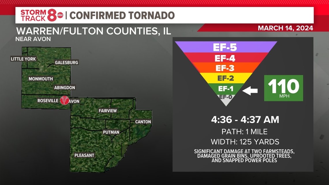
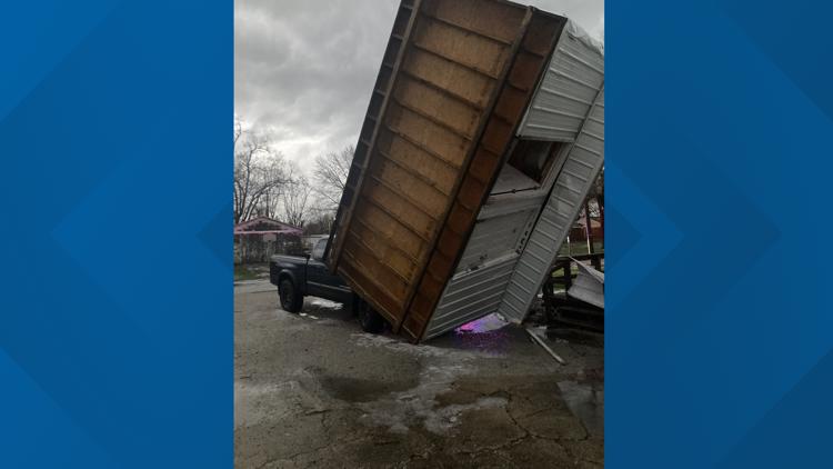
The tornado created significant damage at two farmsteads, including destroyed outbuildings and machine sheds, damaged grain bins, several uprooted streets, and snapped power poles. The weather service says no injuries or deaths were reported from the storm.


2024 has been a very active start in terms of severe weather in the Quad Cities. In February, for only the second time in recorded history since 1950, a tornado was observed in the region for February.
Download the Storm Track 8 App or the News 8 App for free today to stay ahead of severe weather and get immediate updates from the Storm Track 8 Weather Team.