MOLINE, Ill. — Do you know what county you live in? Can you pick it out on a map? It seems like a simple question, but meteorologists across the country are running into the same problem, and it becomes more evident during times of severe weather.
The issue? People don't know where their location is on a map, including what county they reside in. This is a critical piece of knowledge needed in order for everyone to know exactly which locations are under certain weather watches and warnings.
So, this brings up a good point and a great question for this week's Ask Andrew.
Why do you often refer to Interstate 80 instead of towns and counties?
Those of us in the world of meteorology, especially on the broadcast side, have been talking about the lack of knowledge regarding a person's location for a number of years. It really isn't anything new.
Even before we had the warning polygons and storm warnings for an entire county, it was still a prevailing issue.


Communication is crucial. It's the business of broadcasters after all. The discussion has been ongoing for years, brainstorming how we can better communicate the threat of inclement and severe weather, especially its expected location.
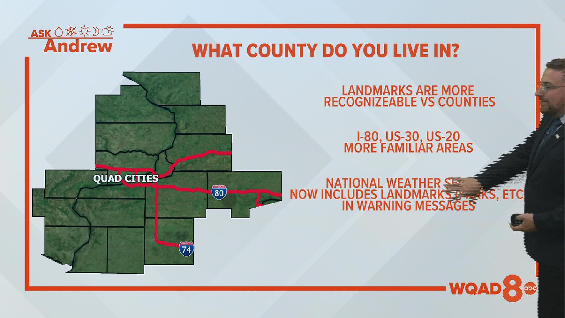
One solution has been to reference major landmarks, including interstates.
Here in the Quad Cities television market, we happen to have a well-known interstate that essentially cuts the region in half, acting as a dividing line between the north and south halves of the region. Most folks who have lived in this area for some time are aware of where the interstate is in relation to their location, making it one of the easier reference points to use.


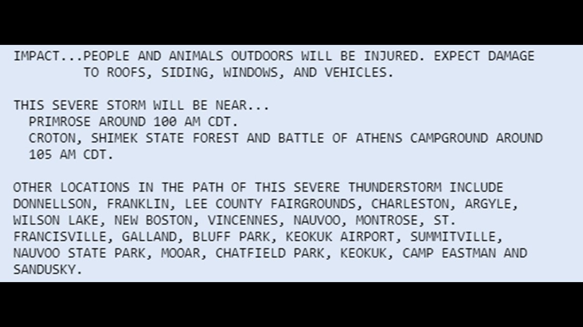
Even the National Weather Service has now started to put landmarks in their warning products, such as severe thunderstorms and tornado warnings. Everything from parks, to hospitals, fairgrounds and even shopping malls are now mentioned in the warning text if they are in the path of a severe storm or tornado.
When we mention that severe weather or heavy snow is expected "along and south of I-80" we generally mean that the heaviest snow or most severe weather will take place in areas near the I-80 corridor and points to the south. It doesn't mean that the strongest storms or heaviest snow will fall necessarily right on I-80 itself.
Have a question you would like me to answer for an upcoming Ask Andrew segment? Submit it, here!

