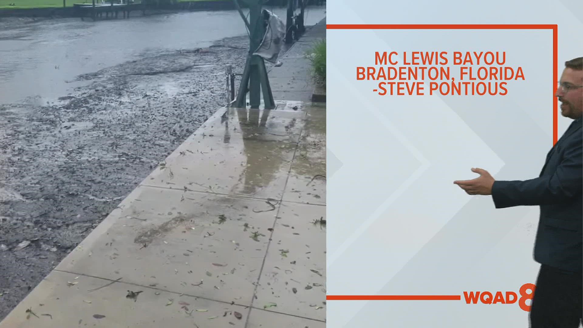
MOLINE, Ill. — When massive storm systems, such as the one like Hurricane Ian begin approaching landfall, you begin to notice some strange things occurring, especially with surrounding bodies of water. Social media posts quickly revealed a phenomenon known as reverse storm surge taking place across not only Tampa Bay, but all throughout other bayous in southwest Florida, too. The dramatic pictures and videos that followed showed a nearly empty bay and several bayous that also had quickly receding water levels. Tampa Bay itself saw water levels drop more than five feet, leaving the bay floor almost completely exposed. In the Facebook post below, you can also see how water levels quickly dropped in McLewis Bayou, Bradenton, Florida.
What is reverse storm surge?
We've all heard the term storm surge, which references the quick rise in water levels as a strong storm system approaches the coastline. The combination of an intense area of low pressure at the center and strong winds combine to push water levels up to extreme levels, in some cases, more than a foot above ground level. These strong winds race towards the coast and the massive pile-up of water follows, often leaving complete devastation in its path.


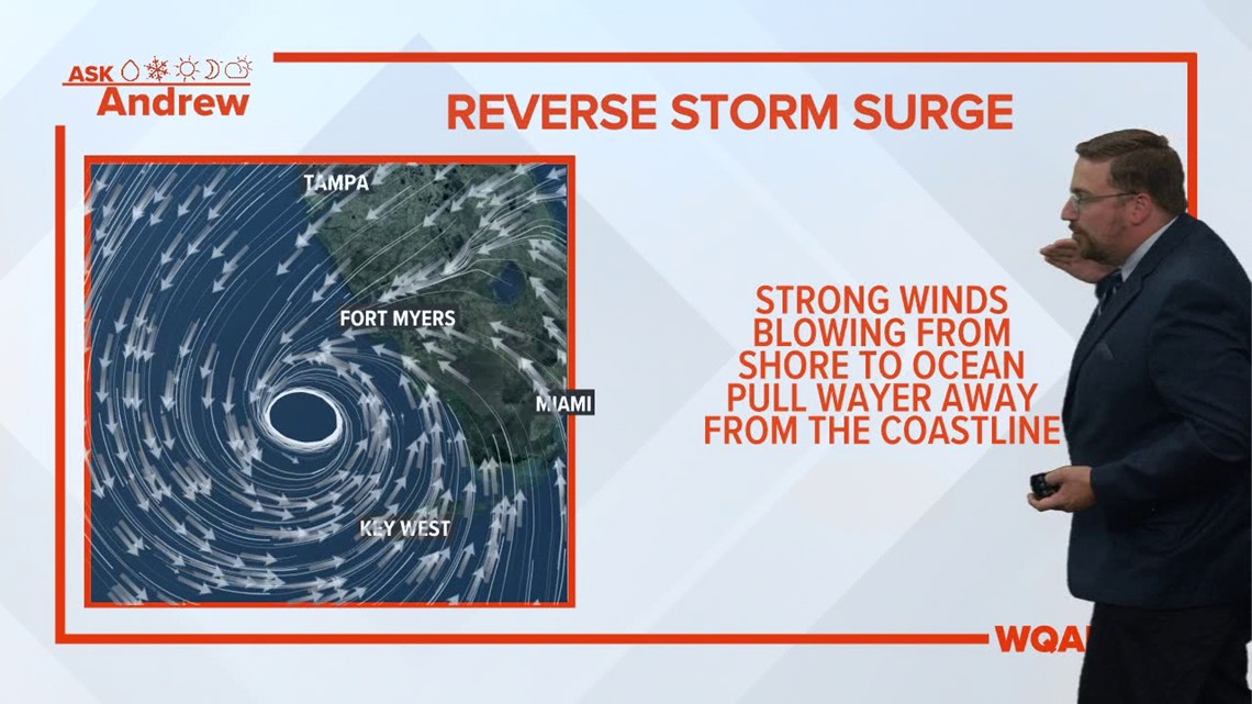
Reverse storm surge is the complete opposite and occurs on the northern side of a tropical storm system. Strong winds rotating counter-clockwise around the storm's center are pushing water away from the coastline and in the case of Tampa Bay, literally pushing the water out of the bay itself. Reverse storm surge typically isn't going to cause any damage itself, other than to natural wildlife, but it sure looks dramatic in person.
European Space Programme satellite data also shows the impact of reverse storm surge as freshwater flooded into the Gulf of Mexico. The above satellite image compares the same region before and after Hurricane Ian moved through. It's easy to see which areas of the Gulf of Mexico were disturbed by the extreme winds associated with this particular hurricane.
Have a question that you would like me to answer for an upcoming Ask Andrew segment? Submit it, here!
Watch more news, weather and sports on News 8's YouTube channel

