MOLINE, Ill — On foggy mornings we'll often show a map that highlights visibility levels from around the region. This helps highlight where fog is likely the thickets and which will also cause the biggest impact to travel in that area. Cheryl in Galesburg asks, "How do you measure visibility?" Let's dig in!
The equipment
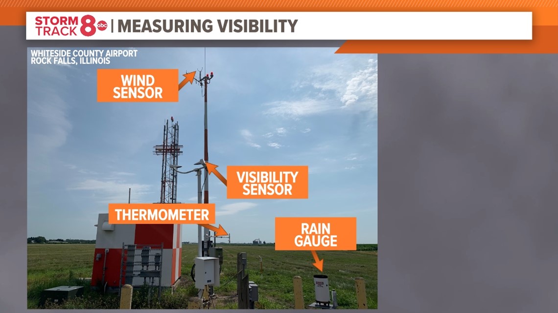
All across the United States at various airports, a complete suite of equipment measures everything from temperature to humidity, rainfall, and yes, visibility. These are called Automated Weather Observing Systems, or AWOS for short. The FAA maintains many of these stations in terms of installation and maintenance.
For this example, we'll take a look at the AWOS station located at the Whiteside County Airport south of Rock Falls.


This AWOS station has a suite of sensors, including all the usual suspects. The one unique thing about this particular station is it now uses an ultrasonic anemometer to measure wind speed, rather than the traditional fan blade system with spinning cups or blades.


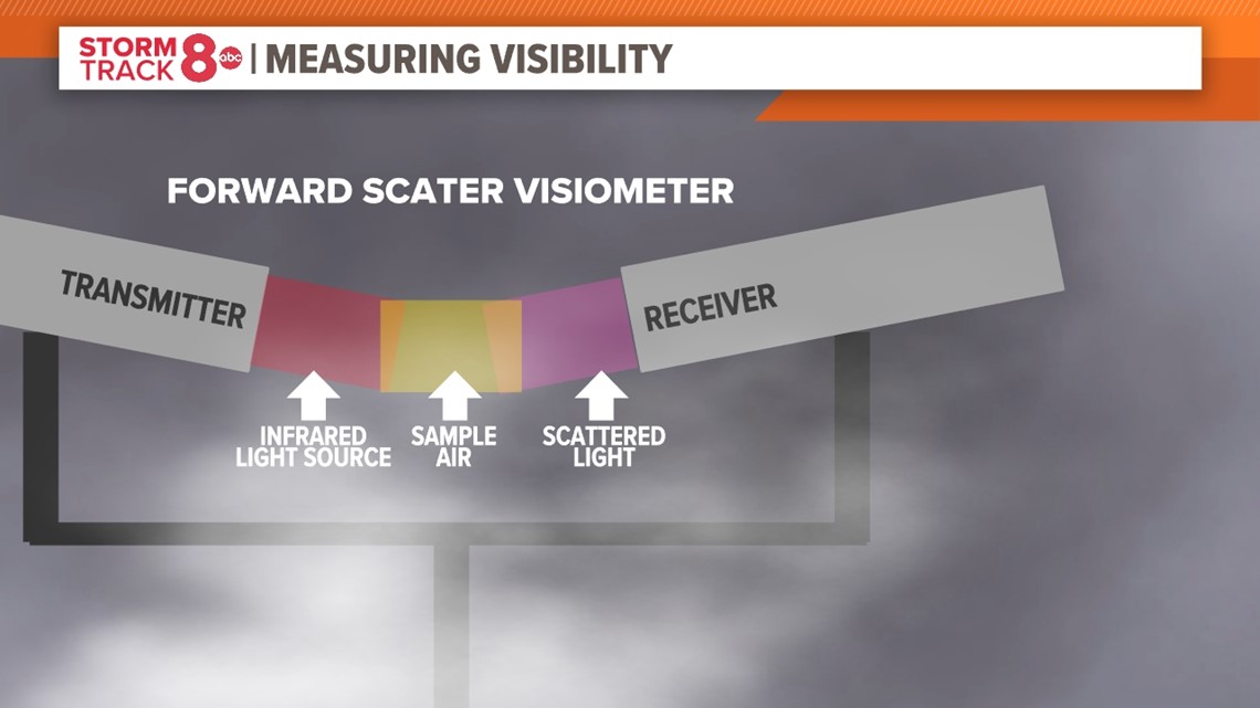
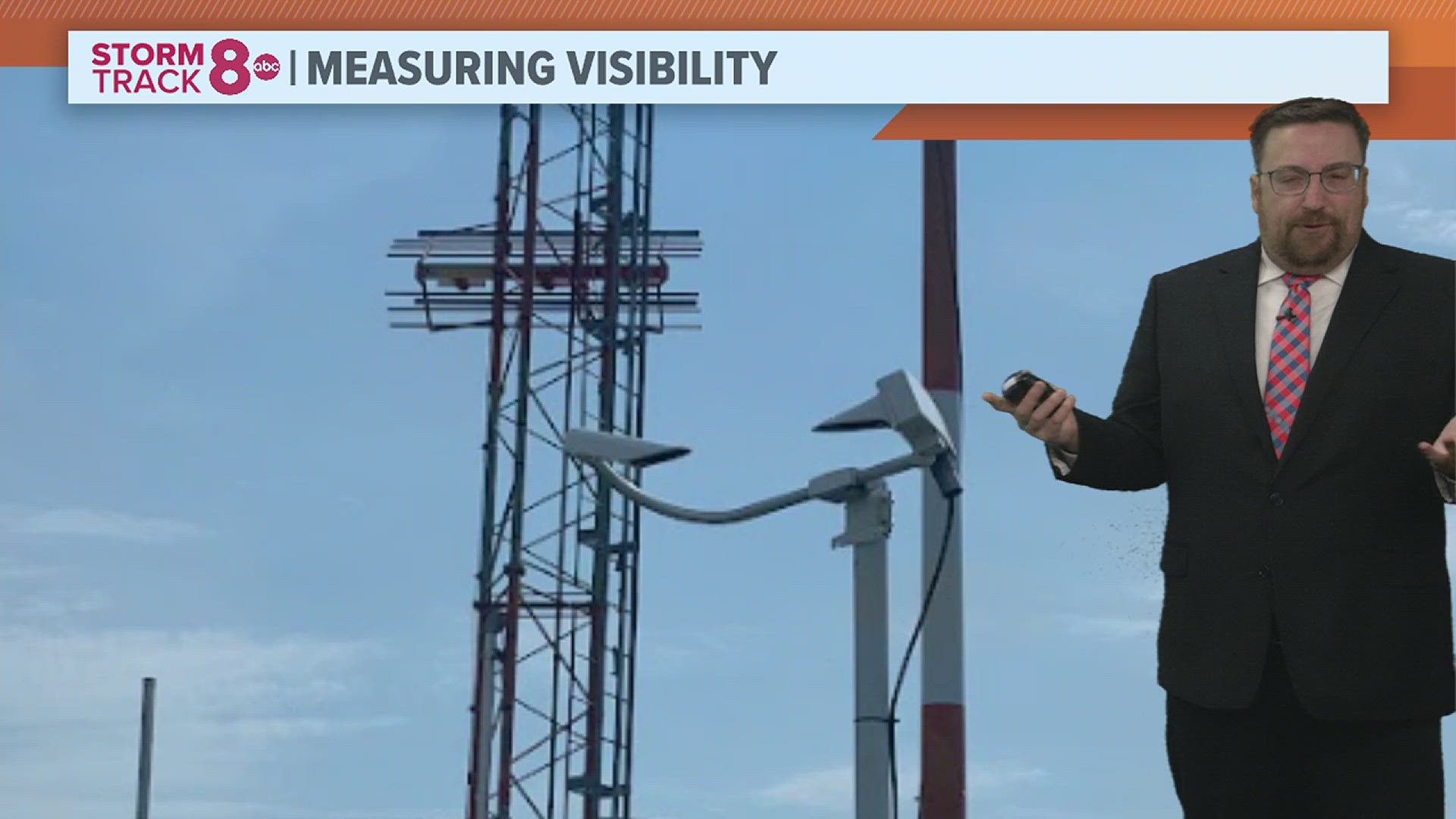
Back to the visibility measurement, this unique-looking piece of equipment is called a visiometer. It involves a transmitter on one end and a receiver on the other. The transmitter sends out an infrared light source that is then received in some fashion on the opposite end with the receiver. In between is the air sample where things like fog, snow, and rain will be present. The more of that precipitation sitting in the sample air column, the lower the visibility will be and that is measured by how much light is received via the receiver.
The attached computer then does a little onboard math and viola! You have your visibility measurement, with 10 miles being full visibility. Anything less than a mile is considered very low visibility and this is typically when you see some big impacts to travel.
Have a question that you would like me to answer for an upcoming Ask Andrew segment? Submit it, here!
Watch more news, weather and sports on our YouTube channel

