MOLINE, Ill. — You've seen it over and over again. A line of strong to severe thunderstorms is sitting west of the Quad Cities, racing east, only to fall apart once it reaches the Mississippi River. Sometimes, storms will fall apart on the Iowa side, then restrengthen or redevelop later on the Illinois side. Is the river really to blame? Does it have this much control over our weather pattern? Let's dig in!
It may seem like a scientifically sound reason, after all, the Mississippi River is a large body of water, at least in length. On average, the river spans around a mile wide, which seems like a lot of surface area. When we look at this from the perspective of a larger scale, it really isn't that big at all.
Thunderstorms can reach up to five miles into the atmosphere, growing in height to around 50,000 to 60,000 feet on average. That's quite a big difference. Yes, while storms feed off of storm energy, including warm and most air here on the ground, there are also other dynamics at work, such as wind shear. Also, think about the timescale. How long is that storm typically ingesting air sitting above the Mississippi River? Not very long at all, likely less than a few minutes in most cases. Definitely not long enough to completely kill off a decent line of storms.
So, if the river isn't killing off these lines of storms, what is?
A few things, including the location/timing of where storms initiate, possible influences from the much larger body of water sitting to our east, Lake Michigan, and the ongoing supply of moisture all play roles in storm strength.
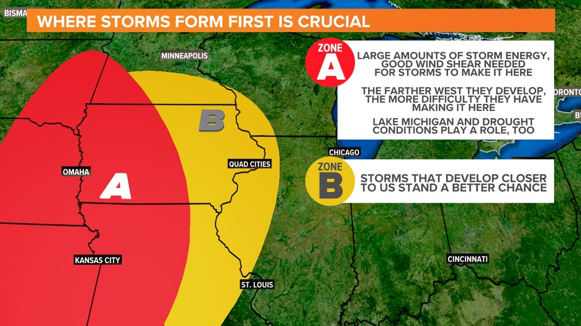
For example, thunderstorms that form along a cold front in Nebraska and move east through the afternoon and overnight may not reach the Quad Cities in their original form. This could be due to a lack of storm energy, or a lack of wind shear, meaning the rain-cooled air races ahead of it and makes it fall apart.
In this particular case, it is more related to timing. The fact that it falls apart at or near the river is a pure coincidence and serves as the primary example of when this type of scenario plays itself out.


Meanwhile, storms that develop in Zone B, located much closer to the Quad Cities, will usually have access to a better supply of storm energy and other dynamics to sustain themselves as they traverse the river. One exception to this general idea would be the derecho back in August 2020. That type of system is even more dynamic, relying on jet streams and other factors that allow it to sustain itself for hundreds of miles.


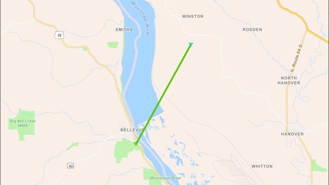
I still hear a lot of folks repeating the age-old saying that the Mississippi River will protect the Quad Cities and communities along it from severe weather, including tornadoes. That remains simply untrue. In fact, we've Verified more than two dozen tornadoes since the 1950s that have crossed the Mississippi and other rivers here in the Quad Cities! So much for that myth!
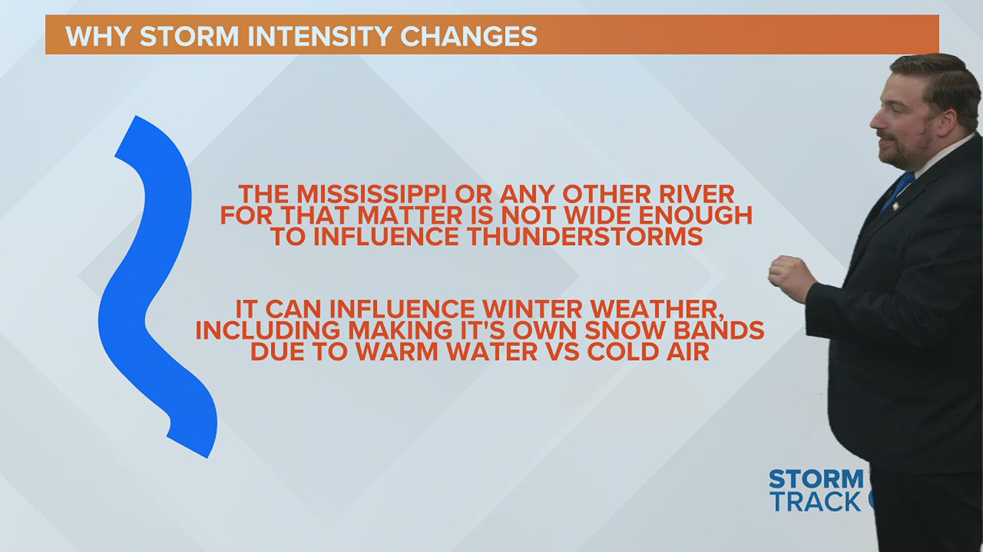
Now, one thing the Mississippi River can influence in terms of our weather around here is "river effect" snow. This is a very common occurrence during the winter months, especially if there isn't much ice sitting around to cover up the water. An air mass changes temperature much more quickly than a body of water. So, during the winter months, you can have a warm Mississippi River sitting in an environment with really cold air, creating steam/water vapor that condenses into clouds and snow bands under the right conditions. This is very common, especially where the Mississippi River runs more west/east in our region.
So, there you have it. Rivers can play a small role in some weather phenomena, but they are not large enough to constantly influence lines and clusters of thunderstorms.
Have a question you would like me to answer for an upcoming Ask Andrew segment? Submit it, here.

