MOLINE, Ill. — It's no secret our winter season here in the Quad Cities is changing. Not only is the season becoming shorter, but it's also warming as well.
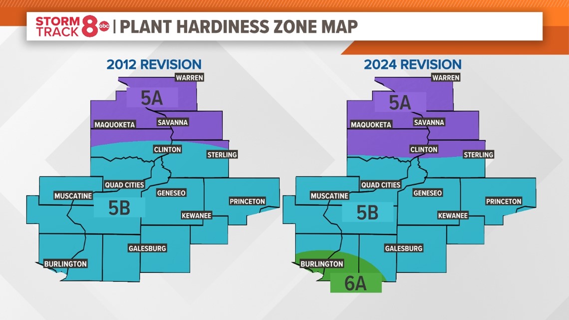
Late last year, the USDA released its new plant hardiness zone map, which shows some changes for the Quad Cities area, especially for our southernmost region. Lisa recently reached out and asked which areas have experienced a change in a zone. Let's dig in and see what that means!
What do plant hardiness zones mean?
In total, there are 13 zones across the United States, each divided up based on the best estimate of the average annual extreme minimum temperature at any location. This is based on temperature data over around 30 years. The data for this map was last updated in 2012. This particular update uses data from 1991-2020. The newest update brings about one small change for our region, the northward shuffle of region 6A near Burlington, Iowa, and Monmouth, Illinois.


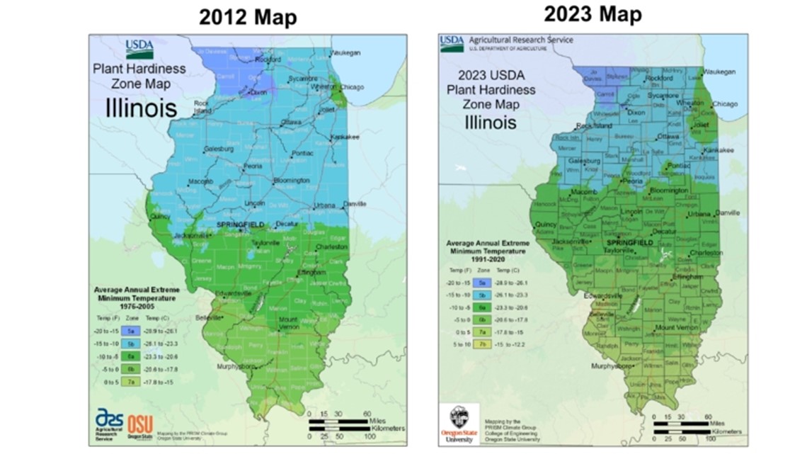
This region is part of the largest change released with this latest map update. In some cases, zones migrated more than 60 to 70 miles north compared to the previous update in 2012. Also, for the first time, a small 7B zone is now located in the southern tip of Illinois.
What role has climate change played?
There is little doubt that this shift in zones northward is the result of climate change. Winter continues to be the fastest-warming season in the Quad Cities. Nighttime temperatures are actually outpacing the growing warmth seen during the daytime!


There are some benefits to less extreme winter cold, the most obvious being less of an impact on human health and perennial crops/ecosystems. On the flip side, warmer winters can lead to more invasive plant species being established, more insects and more plant/animal diseases.
Have a question that you would like me to answer for an upcoming Ask Andrew segment? Submit it, here!

