MOLINE, Ill. — Those hot and humid summer days can leave us all feeling exhausted, especially if you have to work outside in those conditions! But did you know those hot temperatures can also suppress thunderstorm development?
You'll often hear us talk about a "cap" in the atmosphere, a phenomenon that often prevents severe storm development, especially during the summer months here in the Quad Cities. But how does that cap form, and why does it shut down storm development? Let's dig in!
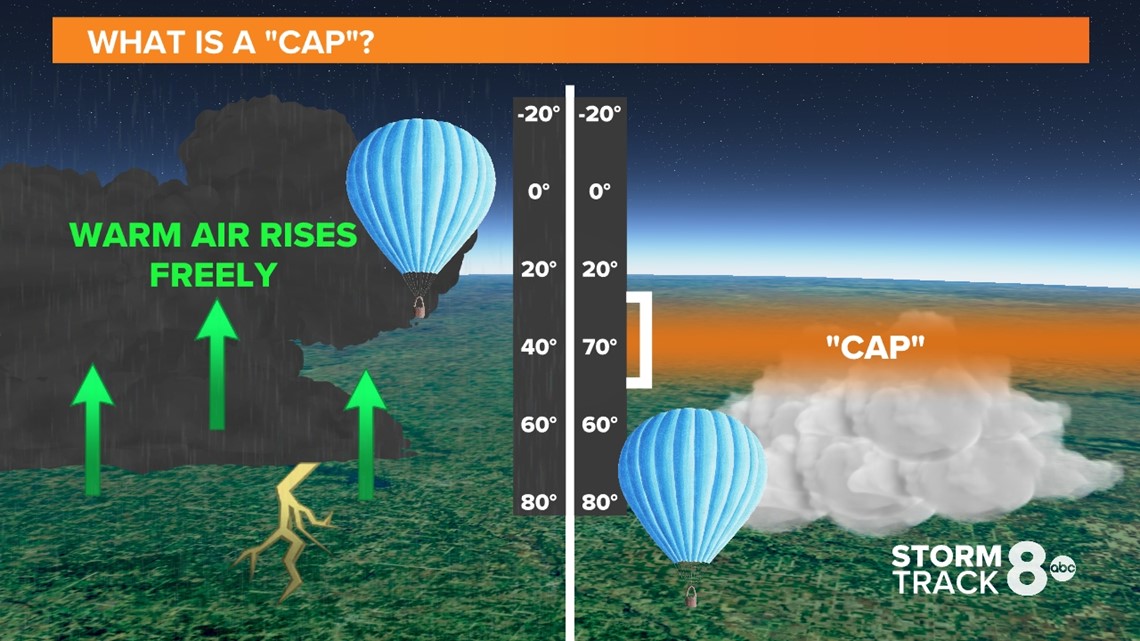
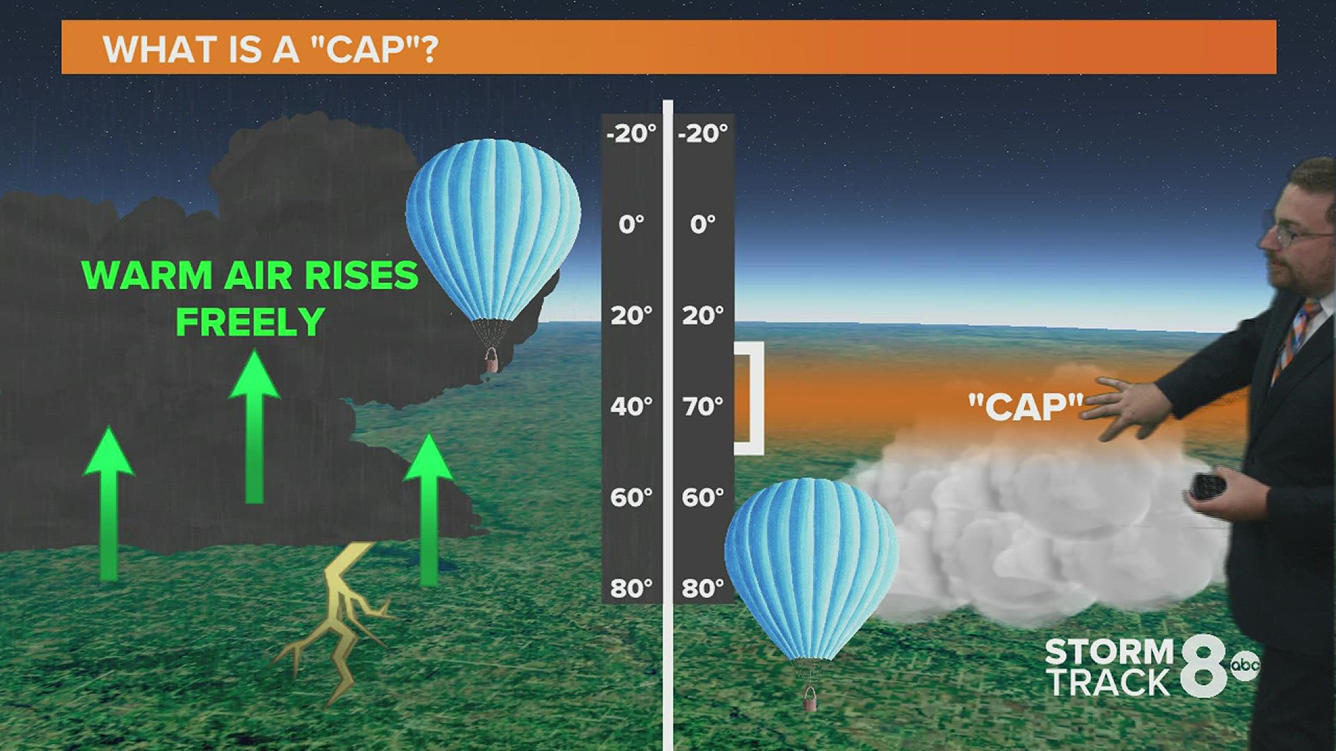
When we take a typical profile of the atmosphere, the temperature typically falls with height. While the temperature at the ground could be 80°, it is much, much colder several feet up into the atmosphere.
It's the difference in air temperature and density that allows clouds to develop and rise vertically into the atmosphere. Think of it like a hot air balloon. We fill the balloon with heat so it will rise towards the cooler air in the atmosphere.


On extremely warm days or any day with a good surge of warmth just above ground level, you can get an atmospheric cap to form. This warm layer of air prevents rapid rising motion, often suppressing thunderstorm development.
As the image above shows on the right, you'll notice that temperatures decrease from the ground up but only for a brief period of time before the temperature begins to rise again, followed by more cooling.
RELATED: Ask Andrew: What is 'corn sweat'?
Any rising air particles immediately stop upon hitting the atmospheric cap. You can easily see this process on hot, humid days when those growing cumulus clouds suddenly seem to stop growing after a period of time.
Now, it isn't unheard of for a storm to break through the atmospheric cap. It's certainly happened before and often leads to explosive severe storm development.
Have a question you would like me to answer for a future Ask Andrew segment? Submit it, here!

