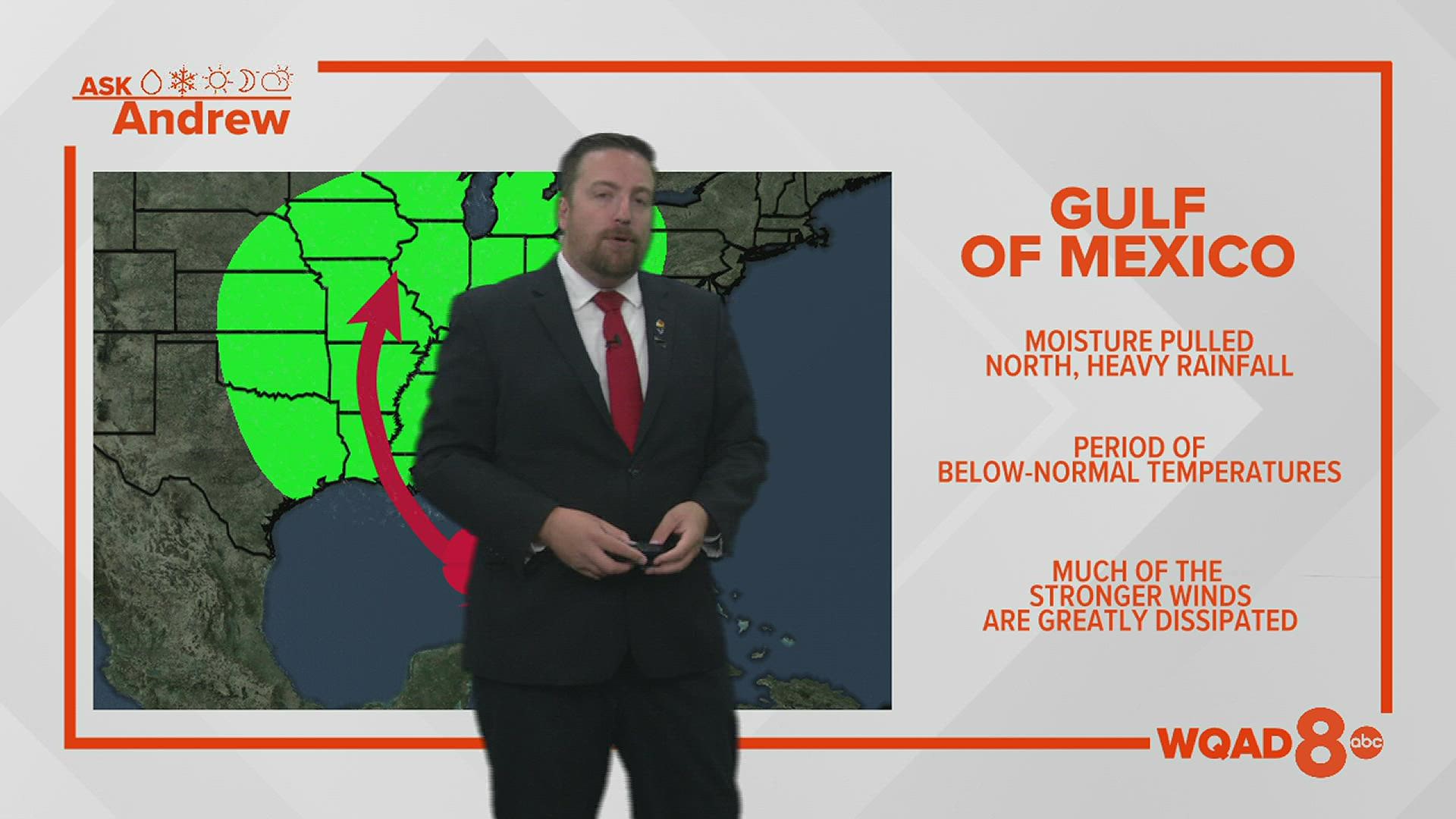
MOLINE, Ill. — Hurricane season is officially underway here in the United States. So far, we've only experienced one tropical storm making landfall in Florida. We're likely to see more activity in the weeks and months ahead as the peak of hurricane season won't arrive until late August/early September. So, how do these storms impact our weather here in the Quad Cities? Let's dive in!
There are usually two scenarios we watch for impacts on our weather pattern here in the Quad Cities. In terms of moisture, a Gulf of Mexico storm will often bring heavy rain as tropical moisture works its way northward. Thankfully, by the time the actual area of low pressure reaches us here, the winds have slowed considerably and we typically don't have to worry about that aspect of the storm. Several rainy days and increased cloud cover will also create a period of below-normal temperatures as well.


Meanwhile, a tropical storm system that makes landfall along the southeast coast of the United States will often keep the heavier moisture and precipitation further east, along the Ohio valley. Meanwhile, as the storm vents, tremendous amounts of heat out of the top, a rather potent dome of heat begins to develop across the Midwest. This type of pattern will typically come to a halt as the storm system rides up along the east coast, preventing any eastern movement of the overall weather pattern itself. This often leads to several days of above-average temperatures along with dry conditions.


Have a question you would like me to answer on an upcoming segment of "Ask Andrew?" Submit it, here!

