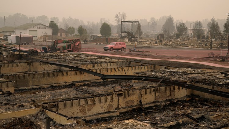
BOISE, Idaho — Over 2 million acres of land in California and around 1 million acres in Oregon have burned in the last several weeks as wildfires across the West Coast continue to rage. With dozens of fires burning across the West, use the interactive maps below to see where the wildfires are and how large each one is.
Over 38 fires have started in Oregon, which has killed five people so far. The Oregon fires have destroyed over 1,000 homes.
In Idaho, the Woodhead Fire has burned over 79,000 acres and has spurred many evacuations.
Officials from the Payette National Forest announced that they will fine anyone who enters restricted areas that are closed to the public due to the fire. The community of Cambridge is now on edge as the growing fire threatens the small town.
Scroll down to use the two maps below to see where wildfires in California, Idaho, Oregon and Washington are.
Find the interactive map here.
View the interactive map here.


