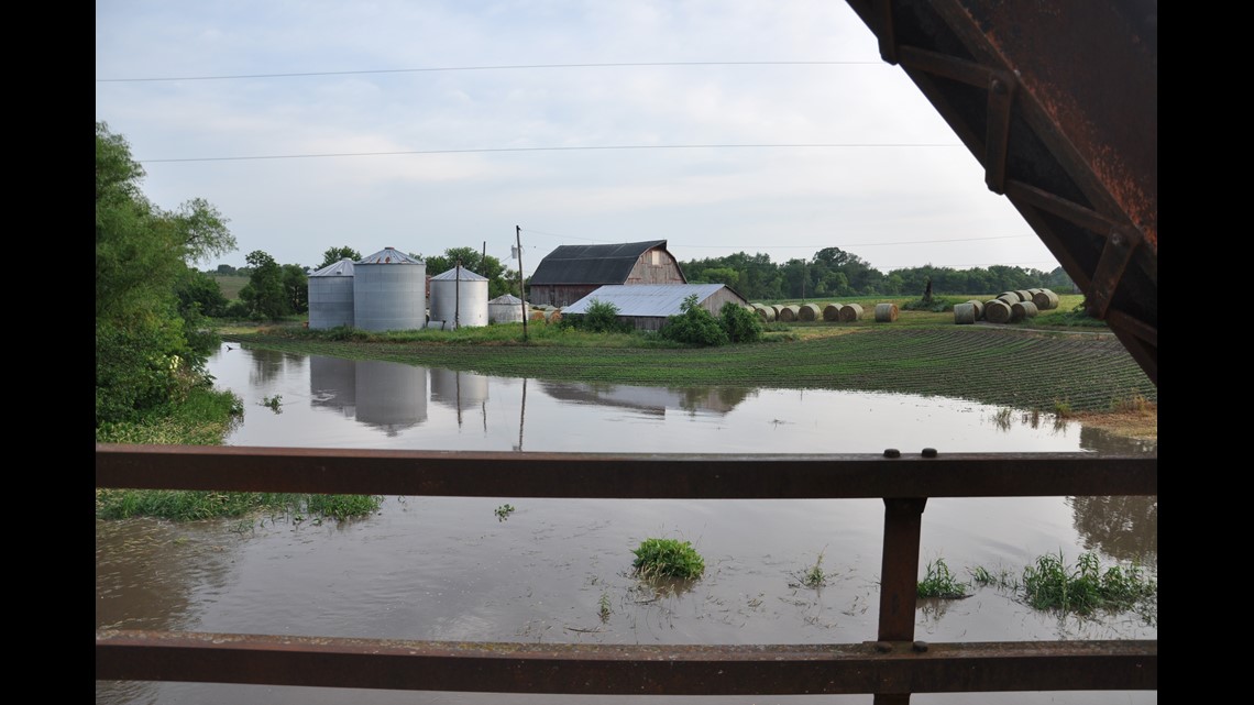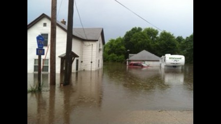

(To share your photos, click the “Submit Your Photo” button at the end of this story)
Flash flood warnings were issued for several area counties when two to four inches of rain fell in some parts of the Quad Cities and surrounding areas.
Storms that began before dawn Monday, June 24, 2013 brought vivid lightning, wind and heavy rain to our area.
Radar estimates from the NWS indicated thunderstorms dropped two to three inches across parts of northern Rock Island County and more widespread rainfall totals of three to four inches in Henry and Bureau counties. Rain totals over four inches were possible in some areas.
A trained spotter reported 2.15 inches of rain had fallen in Davenport before noon Monday. A trained spotter reported 4.2 inches of rainfall recorded just south of East Moline in Rock Island County. Another spotter reported 3.3 inches of rainfall just south of Rock Island. the Henry County, Illinois Emergency Manager reported 1.7 inches of rain had fallen in Galva. A trained spotter reported five inches of rainfall just northwest of Kewanee.
A trained spotter reported 2.15 inches of rain had fallen by about 8:45 a.m. Monday in Clinton County, Iowa. Just over three inches of rainfall was reported by 9:10 a.m. in Bettendorf, and a weather co-op participant reported water three to four feet deep in the yards of homes in Lowden, Iowa after more than six inches of rainfall was reported there.
Local media in Cedar County reported about 6.75 inches of rainfall there. In Princeton, Iowa 4.22 inches of rainfall was reported by a trained spotter at 8:44 a.m.
Water was reported over parts of Highway 6 west of Geneseo and on some rural roads in Henry County.
Several roads were closed in northern Cedar County because of flash flooding, with the worst of the rainfall reported between Mechanicsville and Lowden.
A flash flood warning means water will rise rapidly to levels that threaten life and property.


