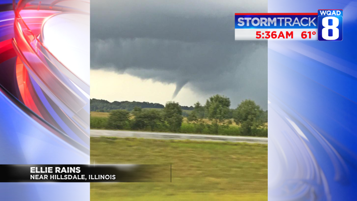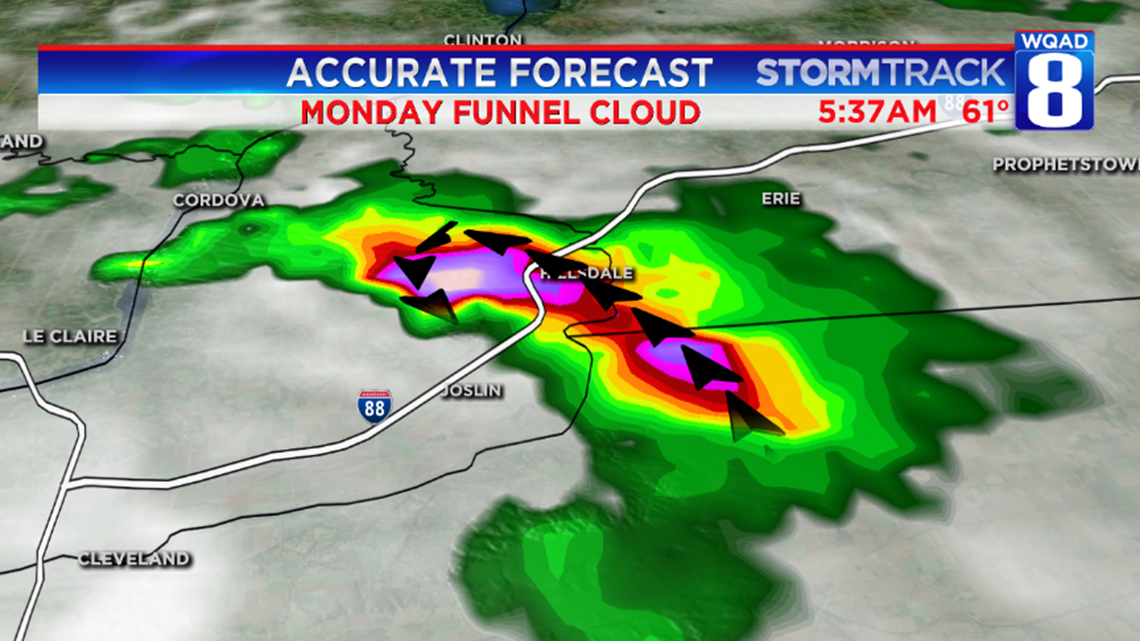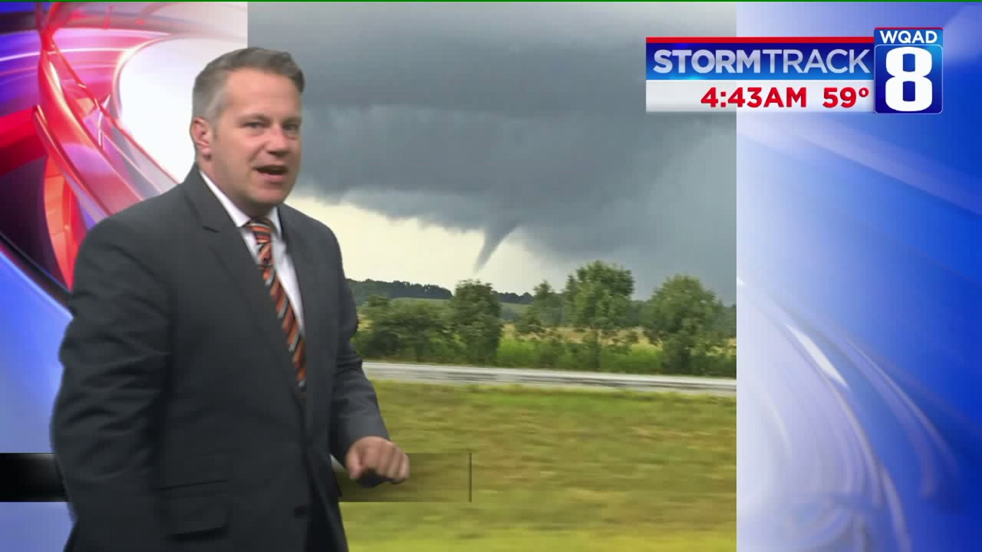

A funnel cloud was spotted along I-88 shortly after 2:30 p.m. Monday afternoon. Ellie Rains posted a couple photos to Facebook. This morning, we are doing a little more research on the storm and why no Tornado Warning was issued. Upon inspection of StormTrack 8, it's safe to say Ellie was looking to the north between the Joslin and Hillsdale exits, into this strong storm.


Typically, funnel clouds and tornadoes will form on the notch under a kidney-bean shape on radar. But if you're wondering why there was no Tornado Warning issued for this storm, check out the animation of the radar shortly after the funnel cloud was spotted.
This funnel cloud really didn't have much of a chance to do lots of damage. Still, every thunderstorm has a small, inherent risk of producing severe weather. That's why it's always a good idea to get indoors, especially when there's heavy rainfall and lightning.


-Meteorologist Eric Sorensen

