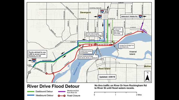
*This map was released before the levee breach and is outdated. Check back for updates.
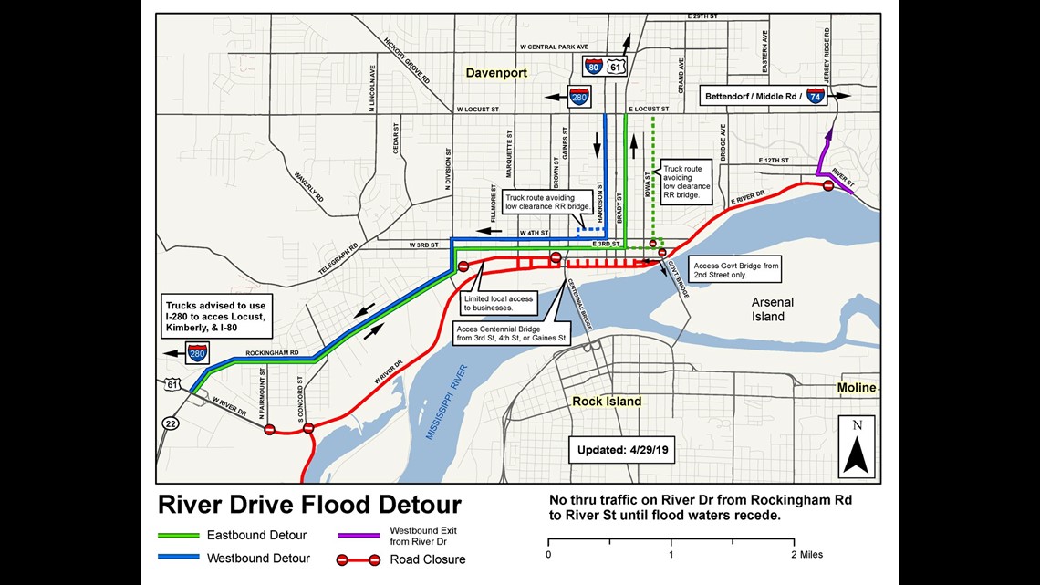
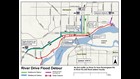
River Drive flood detour in Davenport (click to enlarge)DAVENPORT, Iowa — Davenport Public Works has released a new flood detour map for drivers to get around River Drive.
The updated map was released Monday, April 29, ahead of the predicted record flooding.
The following roads are impacted by flooding:
- 2nd Street is closed to through traffic between Division and Brown Streets
- Some local businesses are accessible using north/south streets in the area
- The Centennial Bridge is accessible from 3rd, 4th and Gaines Street
- The Government Bridge can be accessed via 2nd Street, east of Harrison and Brady Streets
The Freight House Farmer’s Market will be relocating their opening outdoor market to the Scott County Administration Building at 600 W. 4th Street