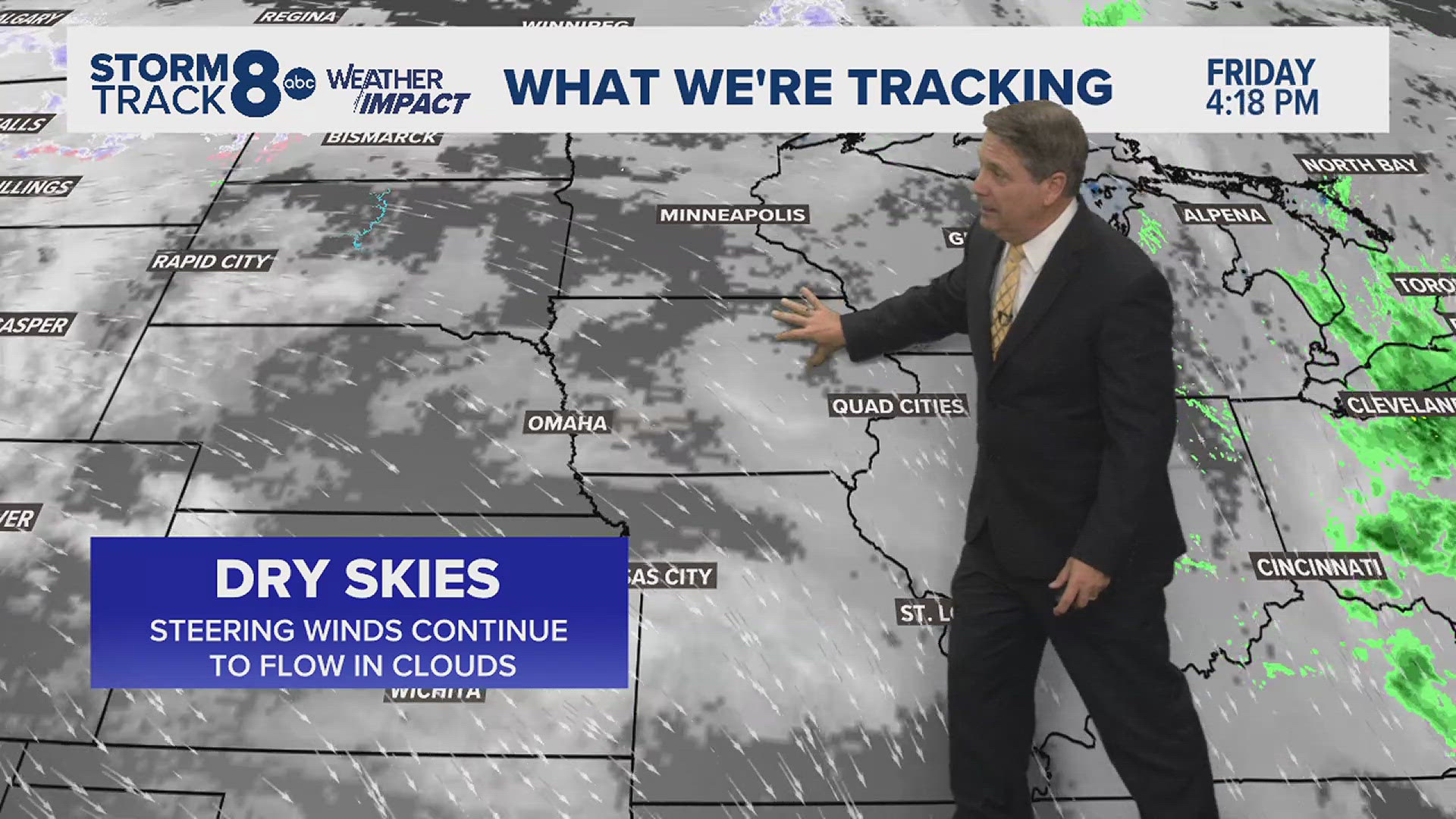
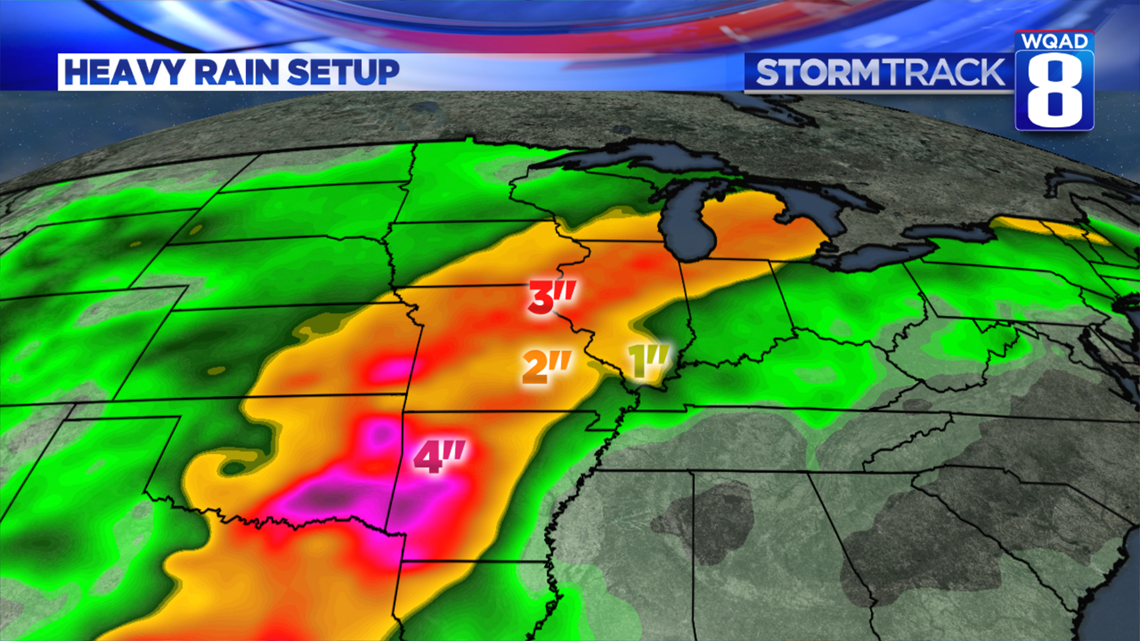
A Flash Flood Watch is in effect for most of Eastern Iowa and Western Illinois through Wednesday. Rainfall rates will exceed the ability for storm drains, creeks, and streams to effectively move the water, causing rapid rises during times of heavy rainfall.


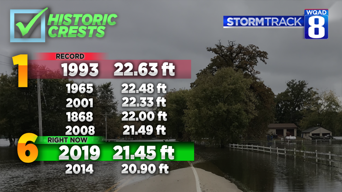
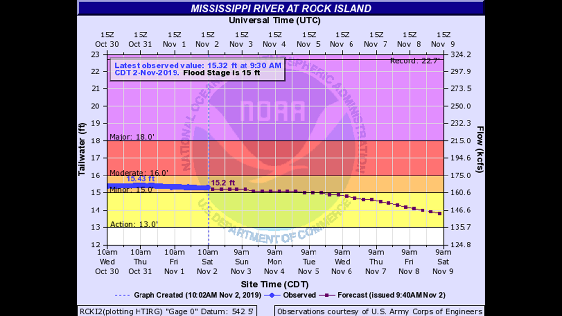
As of 5:00 a.m. Tuesday morning, the Mississippi River is at its sixth-highest level in the Quad Cities, about 14 inches below the all-time record, set July of 1993. It is expected the river will rise into the #5 spot this morning and into the #4 spot by tomorrow.



This pattern will be locked in place for a few more days, possibly coming back for next week.

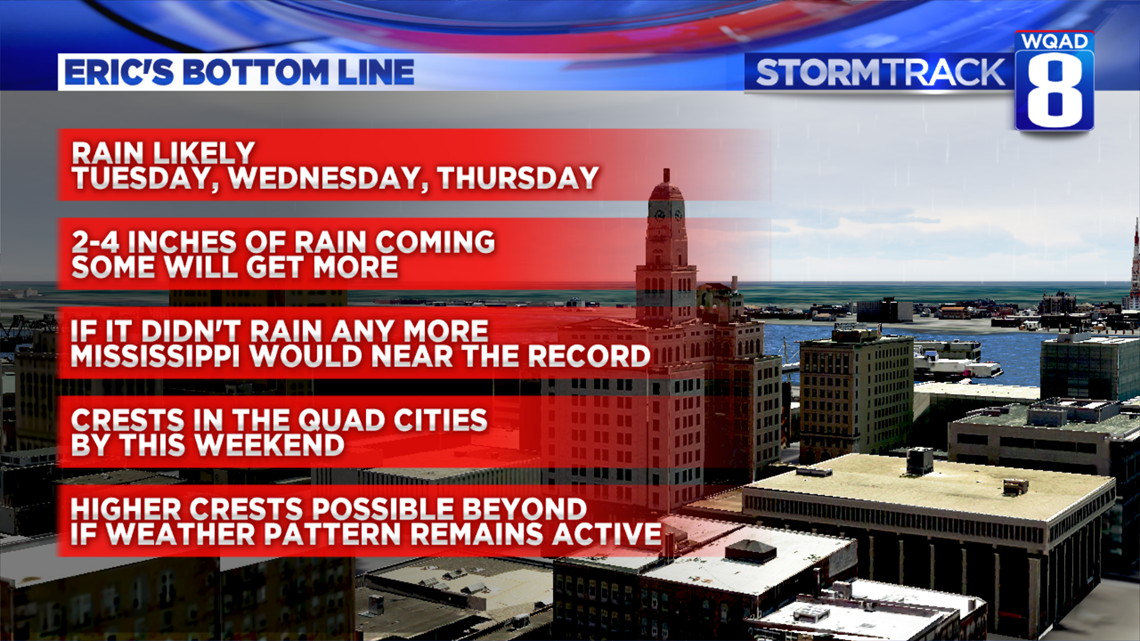
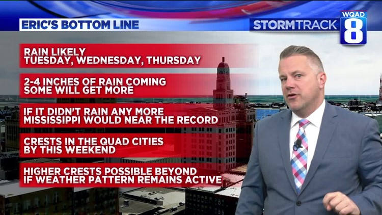
The Bottom Line:
- Rain is likely today, tomorrow, and Thursday.
- 2-4 inches is a good bet for rainfall area-wide. Some places will see more. Some places could get less.
- Even if we didn't have rain in the forecast, the Mississippi River would still rise as tributaries add water to the river.
- Crests are expected by the weekend.
- Higher crests are possible as we remain in an active, rainy cycle.
-Meteorologist Eric Sorensen


