

What a SPECTACULAR Monday in the Quad Cities with temperatures reaching their warmest values of the year so far! As promised a few upper 70s snuck in during the late afternoon hours under a mostly sunny sky. To make things even more enjoyable, there was little in the way of humidity, too! Comfortable conditions will continue Tuesday, though temperatures will be a bit cooler thanks to northwesterly winds. Highs will easily recover into the middle 60s.
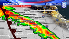

We continue to track a significant storm system that will bring rounds of heavy rain and thunderstorms back into the Quad Cities as early as Wednesday morning. A warm front will lift into the region after midnight and drive scattered showers and thunderstorms for the morning commute. This batch of rain will contain heavy downpours that will reduce visibility at times. Areas along and north of I80 will be the likely locations that see the rainfall Wednesday morning. As moisture continues to stream into the region, rain and storms will continue through much of Wednesday morning before we get a break in the afternoon. With all of the clouds around and a stiff east breeze, highs will be much cooler and limited to the 40s.


During that time period, the area of low pressure will begin to rapidly strengthen in the plains with a gusty south wind cranking up across the region. This will allow our highs on Thursday to surge towards 70 degrees by the afternoon. A cold front follows by the evening which will develop a few scattered showers and thunderstorms into Thursday night.
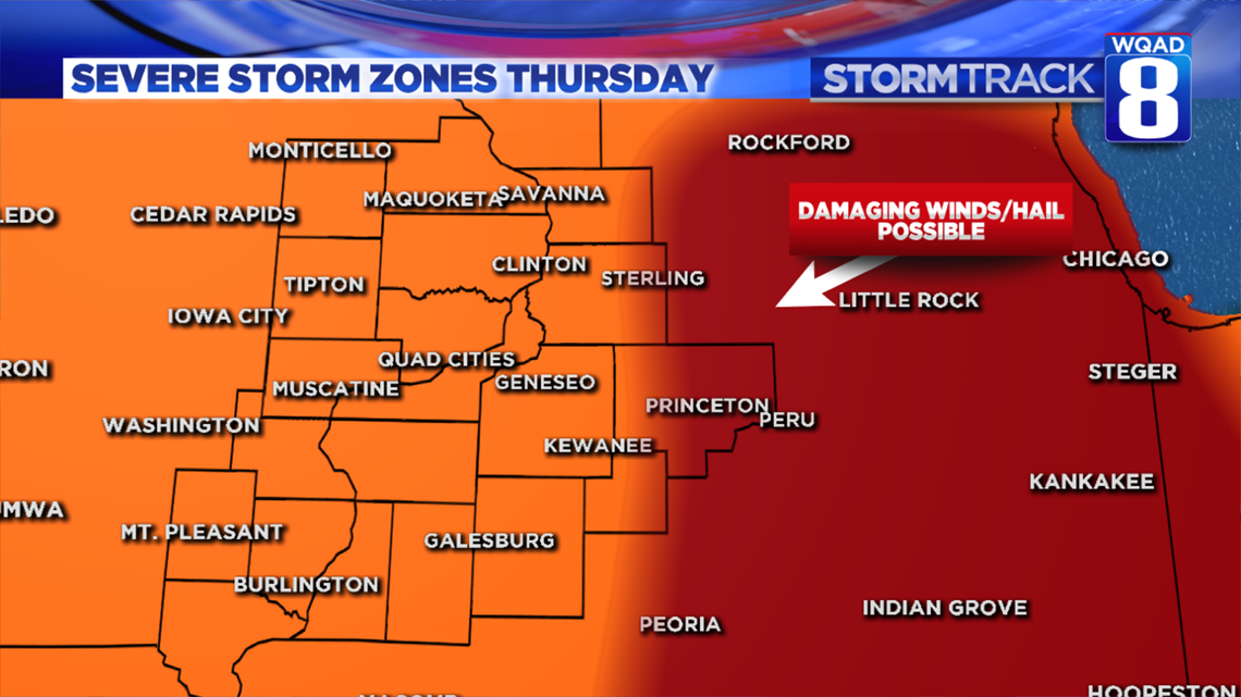
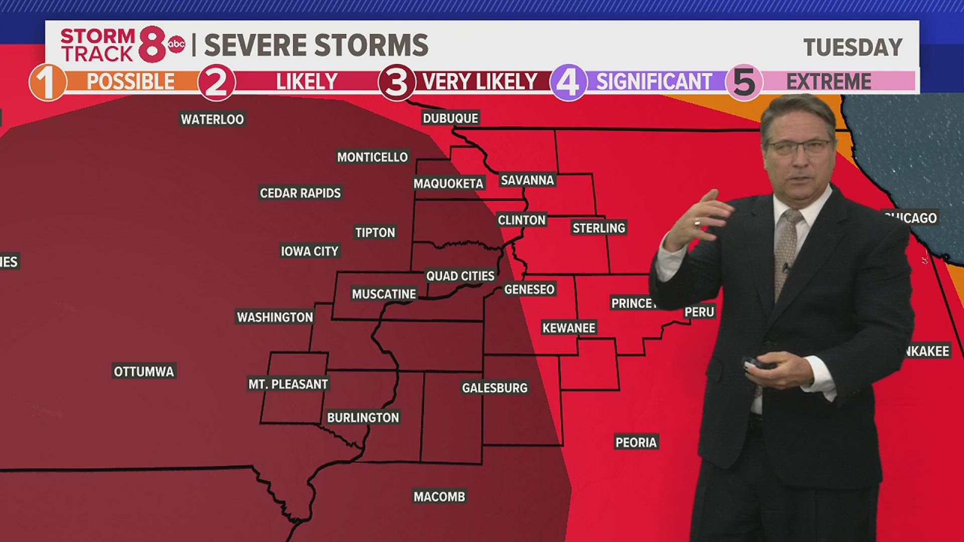
The primary severe risk area will remain east of the Quad Cities, though some small hail will be possible in these storms initially. Areas closer to I39 in Illinois will likely stand the best chance at seeing stronger storms with large hail and damaging winds.

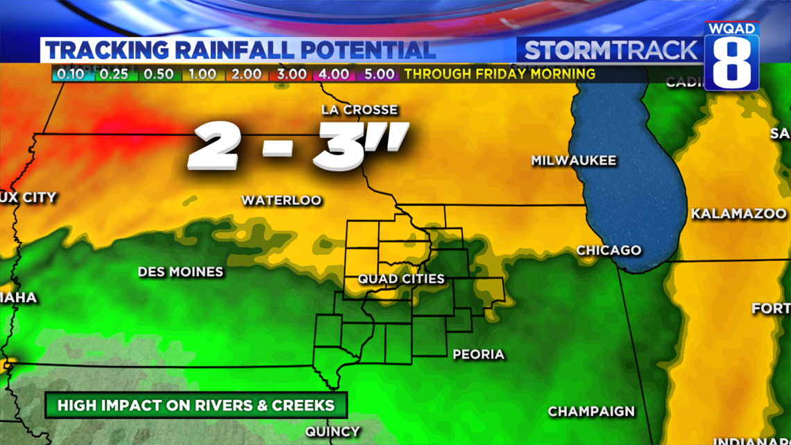
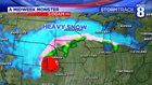
Overall the threat for heavy rains remains our primary concern. Many local rivers are finally retreating after several weeks of rises, but now that process appears it may get reversed again in the coming weeks. The threat for heavy rains to the north of us will mean the risk of more runoff working downstream. There is also the threat for heavy snowfall in parts of Wisconsin and Minnesota, which are areas that also feed into the Rock and Mississippi Rivers. The problem with the snow this time of year is that it will likely melt extremely rapidly with the warmer temperature pattern. Both of these factors are expected to allow river flooding to continue through the remainder of the month.
Meteorologist Andrew Stutzke