DAVENPORT, Iowa - Meteorologists with the National Weather Service (NWS) in the Quad Cities say the Mississippi River could reach record-breaking levels this spring.
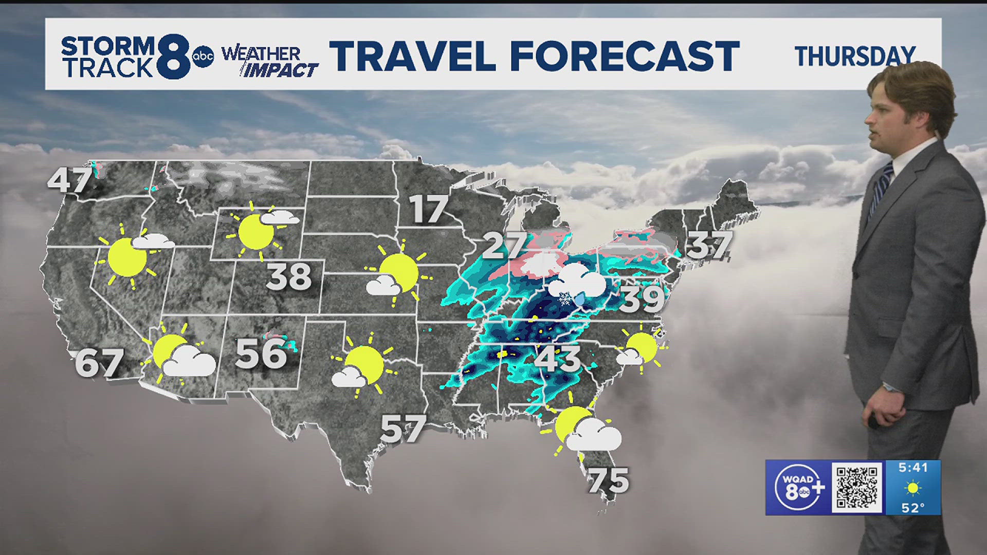
A strong rain system moving through the Midwest Wednesday through Thursday, mixed with warm temperatures, will contribute to a rise in river levels as snow and ice melt quickly.
On Tuesday, March 12, the Mississippi River sat at about 8.6 Feet, which is below the flood stage of 15 feet.
By Sunday, March 17, the river is expected to reach that flood stage and continue to rise.
As April approaches, the river could get dangerously high.
Meteorologists with NWS in the Quad Cities tell News 8 that there is a 50% chance that the river could break the 1993 record, and rise above 22.5 ft.
At that level, river water affects River Drive at the Village of East Davenport.
Water would be over the seawall at Lindsay Park and Lake Davenport Marinas and would the Davenport approach for the Centennial Bridge as well as 3rd Avenue at the John Deere Commons in Moline.
Meteorologists also say there is about a 90% chance the river could reach major flood stage this spring.
Major flood stage is at 18 feet. Water would affect sections of River Drive in downtown Davenport from Gaines Street to 4th Street.
It would also affect 2nd Street at Iowa and most of Le Claire Park and Credit Island would be under water.
Meteorologists are now telling residents to start planning now.
"It is absolutely vital for folks to begin planning now, and planning for the worst case scenarios and hope for the best," said Rich Kinney, Warning Coordination Meteorologist with the National Weather Service in the Quad Cities.
"It is not something that can wait until the last minute and expect to pull together in a couple of days," said Kinney. "The higher the river goes, the more preparations and infrastructure changes you're going to have to make, so it really is a pretty critical situation."
Kinney said the National Weather Service is now in constant communication with emergency management leaders in both Rock Island and Scott counties.


