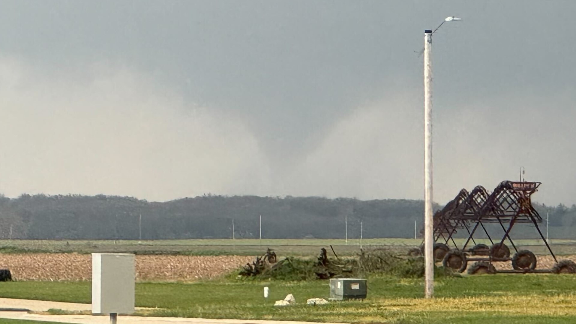
Many creeks and streams have risen significantly this weekend thanks to heavy rains that have fallen on the frozen and snow-covered ground. All of this water will eventually be making its way into the rivers this week and as the threat for heavy rainfall looms, the flood risk will be steadily increasing.

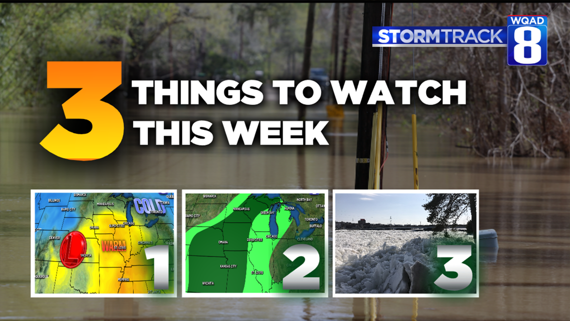
Here are the three things we'll be watching this week when it comes to our increasing flood potential:
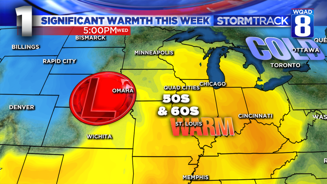
- A quick surge in temperatures: Another strong storm system is expected to impact the region by Tuesday lasting through Thursday of this week. This system will likely draw up some of the warmest temperatures in many months. Highs will likely surge well into the 50s both Wednesday and Thursday, with even a few 60s possible. Notice how far north the warmth is expected to stretch, including parts of Wisconsin and Minnesota where significant amounts of snowfall still remain on the ground.
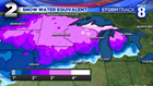

2. Speaking of that snowfall: Here's the latest snowfall analysis showing just exactly how much liquid is sitting in that snowpack. Parts of Wisconsin and Minnesota have widespread areas with three inches or more of water content. With the warmth expected to make it into these areas by Wednesday, significant melting will occur sending large amounts of water into the Mississippi River and even the Rock River in parts of Wisconsin. All of this water will run off as soils remain frozen and completely saturated.

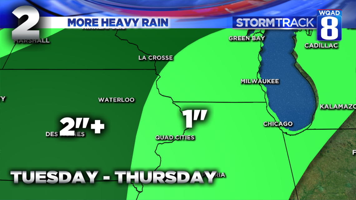
Oh, and there is another good chance at a widespread heavy rainfall event with this next storm system, too. The rain begins Tuesday night and continues in waves through at least Thursday. Thunderstorms are even likely at some points, further enhancing rainfall totals. Widespread amounts of an inch are looking likely at this point, with even heavier amounts to the west. Notice the heavy rain even stretches over the already deep snowpack to the north. Not good!

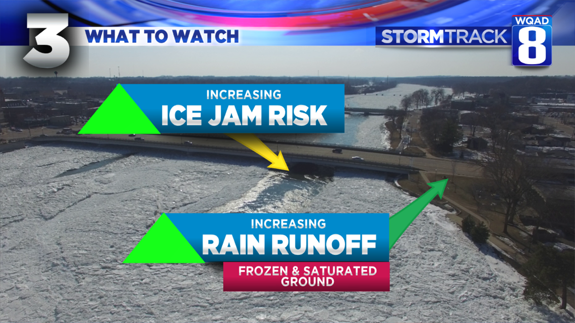
3. Ice jams, especially on the Rock River: This one is going to be inevitable. As of this weekend, a significant ice jam exists near Dixon on the Rock River. Heavy rains and temperatures rising above freezing for a good 72 hours will put pressure on this ice, making it move, or at least attempt to move downstream. This river remains the most vulnerable because of the narrow passages and quick turns, especially near Prophetstown in Whiteside County, an area that always seems to be quite troublesome.
BOTTOM LINE: River flooding will likely become a much bigger issue this week with ice jams and heavy rainfall. We'll be monitoring this situation all week along with the folks at the National Weather Service. It certainly seems like a significant flooding event is in our future for the coming weeks.
Meteorologist Andrew Stutzke