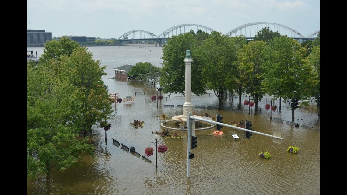
Our extreme winter season may lead to a significant flood season this Spring.
Winter 2018/2019 will be remembered for its significant cold and snowy weather. That pattern is not in line with recent winters that have seen warmer-than-normal temperatures and limited snowfall. Our unusual pattern of cold and snow is a direct result of extreme warming from the tropics, up into Alaska and Northern Canada.


That pattern is expected to continue for at least the next 1-2 weeks, which is ominous for two reasons.
- We remain in a wintry pattern, instead of one that is transitioning into spring storm season. This will keep the severe weather and tornado events in the southern states from Texas, through Dixie.
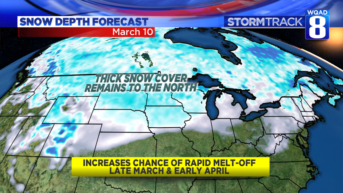
- With more wintry weather in the Plains and Midwest, we're adding to the snowpack upstream. As we pass through each calendar day, we run the risk of a knee-jerk warm-up sometime in late March which could cause a lot of the snow to melt quickly...filling rivers fast.

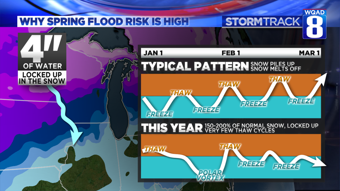
In a typical Winter, we see a regular freeze-thaw cycle which allows us to melt off snow as we receive it. There are times we see bare ground for days and weeks at a time, followed by more snowfall.
This year, we have seen only two thaws (multiple days above freezing). That's important to look at, especially knowing that 150-200% of normal snow fell to our north.

While Mississippi River flooding is not expected to be extreme for a few more weeks, I believe we are at a high risk of significant flooding in late March, lasting into April. If you have interests along the river or live along it, be ready. This could be a significant.
-Meteorologist Eric Sorensen