
Flood warnings have been issued for areas along the Mississippi, Rock, Wapsipinicon Rivers and Maquoketa Rivers.
*Scroll through and find your city to see what the impacts will be
We will continue to update this story as information is made available. Here are the latest warnings from the National Weather Service as of Wednesday evening, Oct. 17:
Mississippi River
The Mississippi River at Rock Island LD15.
* At  6:00 PM Wednesday the stage was 16.2 feet and steady.
* Flood stage is 15.0 feet.
* Moderate flooding is occurring and is forecast to continue.
* Forecast, Rise to 16.9 feet Sunday evening, then begin falling.
* Impact, At  17.0 feet, Water is over most of Davenport`s Le Claire
  Park and lower parking lots.
The Mississippi River at Muscatine.
* At 8:15 PM Wednesday the stage was 18.6 feet and falling.
* Flood stage is 16.0 feet.
* Moderate flooding is occurring and is forecast to continue.
* Forecast, Fall to 18.5 feet Thursday morning and remain nearly steady
through Friday afternoon before rising. Rise to 18.9 feet Monday
morning, then begin falling.
* Impact, At 19.0 feet, Water affects marina buildings in Muscatine.
Water affects Mississippi Drive at Walnut Street. The Mississippi River at New Boston LD17:
* At 6:00 PM Wednesday the stage was 19.3 feet and falling.
* Flood stage is 15.0 feet.
* Major flooding is occurring and is forecast to continue.
* Forecast, Fall to 18.7 feet Friday morning.
* Impact, At 18.1 feet, Lock and Dam 17 is closed. The Mississippi River at Keithsburg:
* At 8:30 PM Wednesday the stage was 18.1 feet and falling.
* Flood stage is 14.0 feet.
* Major flooding is occurring and is forecast to continue.
* Forecast, Fall to 17.8 feet Friday morning.
* Impact, At 18.0 feet, Water is over Pope street north of
Keithsburg. The Mississippi River at Camanche:
* At 8:30 PM Wednesday the stage was 16.6 feet and rising.
* Flood stage is 17.0 feet.
* No flooding is occurring and Minor flooding is forecast.
* Forecast, Rise above flood stage Friday morning and continue rising
to 17.7 feet Sunday morning. The river will fall below flood stage
Wednesday morning.
* Impact, At 17.0 feet, Water affects low-lying residences at
Albany. The Mississippi River at Ill. City LD16.
* At 8:00 PM Wednesday the stage was 17.0 feet and falling.
* Flood stage is 15.0 feet.
* Moderate flooding is occurring and is forecast to continue.
* Forecast, Fall to 16.9 feet Thursday morning and remain nearly steady
through Friday morning before rising. Rise to 17.4 feet Sunday evening,
then begin falling.
* Impact, At 17.0 feet, Water affects the Buffalo Shores Access
Area. Lock and Dam 16 is closed. The Mississippi River at Gladstone LD18:
* At 8:00 PM Wednesday the stage was 15.4 feet and falling.
* Flood stage is 10.0 feet.
* Major flooding is occurring and is forecast to continue.
* Forecast, Fall to 14.8 feet Friday morning.
* Impact, At 15.0 feet, Lock and Dam 18 is closed. The Mississippi River at Gregory Landing:
* At 8:30 PM Wednesday the stage was 20.8 feet and falling.
* Flood stage is 15.0 feet.
* Moderate flooding is occurring and is forecast to continue.
* Forecast, Fall to 20.1 feet Friday morning. The Mississippi River at Keokuk LD19:
* At 8:10 PM Wednesday the stage was 19.5 feet and falling.
* Flood stage is 16.0 feet.
* Major flooding is occurring and is forecast to continue.
* Forecast, Fall to 19.0 feet Friday morning.
* Impact, At 19.5 feet, Water reaches critical stage for Des Moines
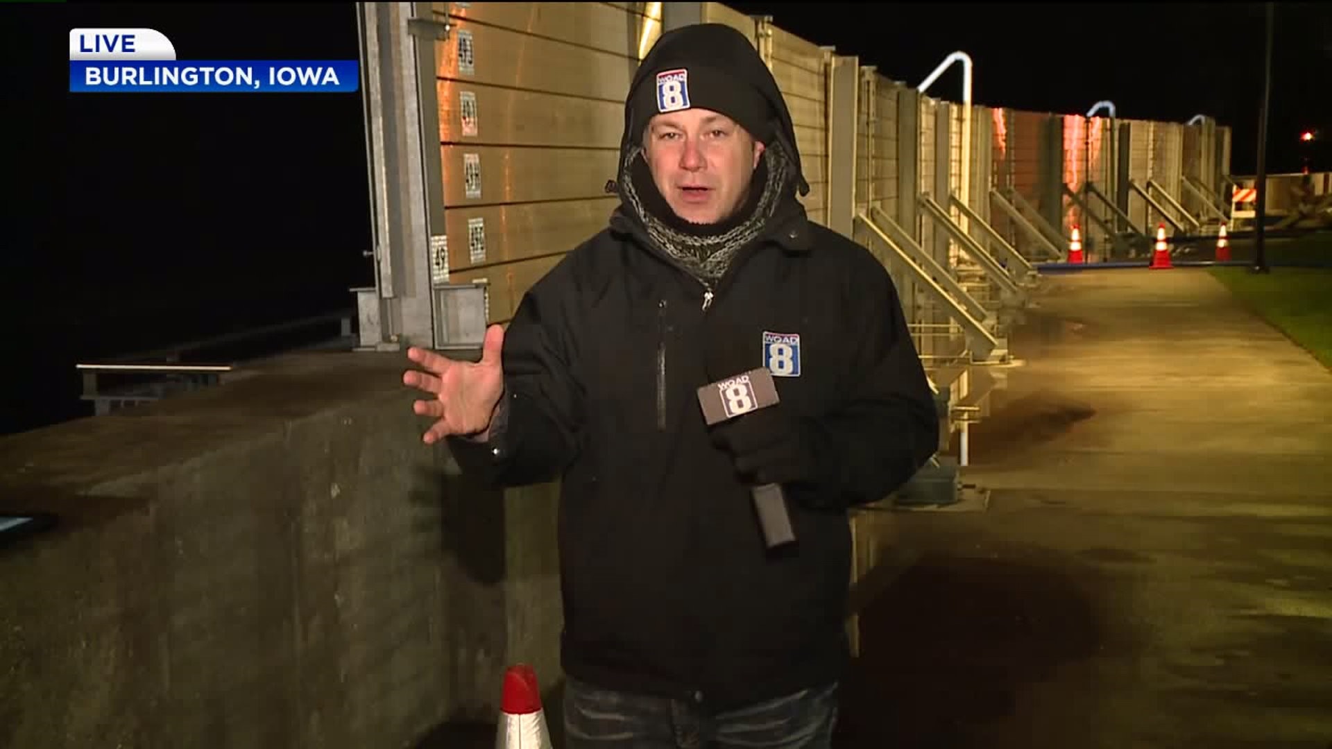
and Mississippi Levee District Number 1. The Mississippi River at Burlington:
* At 8:00 PM Wednesday the stage was 19.9 feet and falling.
* Flood stage is 15.0 feet.
* Major flooding is occurring and is forecast to continue.
* Forecast, Fall to 19.3 feet Friday morning.
* Impact, At 20.0 feet, Water reaches the front steps of the
Burlington Municipal Auditorium and affects the parking lot. Water
affects industries at the south end of town. Water affects most of
Riverview Park in Fort Madison. Rock River
The Rock River at Moline:
* At  6:30 PM Wednesday the stage was 13.3 feet and falling.
* Flood stage is 12.0 feet.
* Moderate flooding is occurring.
* Forecast, Fall below flood stage Wednesday.
* Impact, At  13.2 feet, Water affects 60th Street south of John
  Deere Road in Moline and 75th Ave from Green Valley Park 48th St.
  Water is on Canal Road in Big Island. Smith`s Island is affected
  by flood waters.
The Rock River near Joslin:
* At  6:45 PM Wednesday the stage was 14.9 feet and falling.
* Flood stage is 12.0 feet.
* Moderate flooding is occurring and is forecast to continue.
* Forecast, Fall to 14.5 feet Friday morning.
* Impact, At  15.0 feet, Water affects residences in the Thompson
  addition.
Wapsipinicon River
The Wapsipinicon River near De Witt 4S:
* At  7:30 PM Wednesday the stage was 12.9 feet and falling.
* Flood stage is 11.0 feet.
* Major flooding is occurring.
* Forecast, Fall below flood stage Monday morning.
* Impact, At  13.0 feet, Water affects many residences along the
  river.