
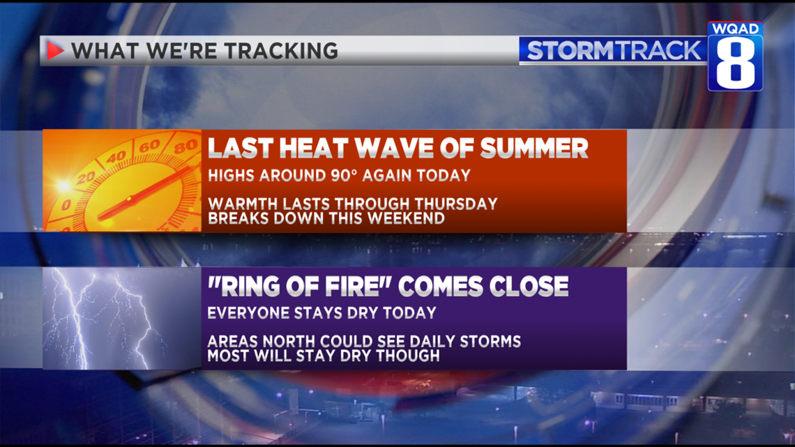
Mostly sunny skies are expected once again. However, an isolated thunderstorm is possible north of the Quad Cities late tonight into early Tuesday. Tuesday evening, there will be another chance of thunderstorms. Most of the activity right through Wednesday will occur north of I-80.
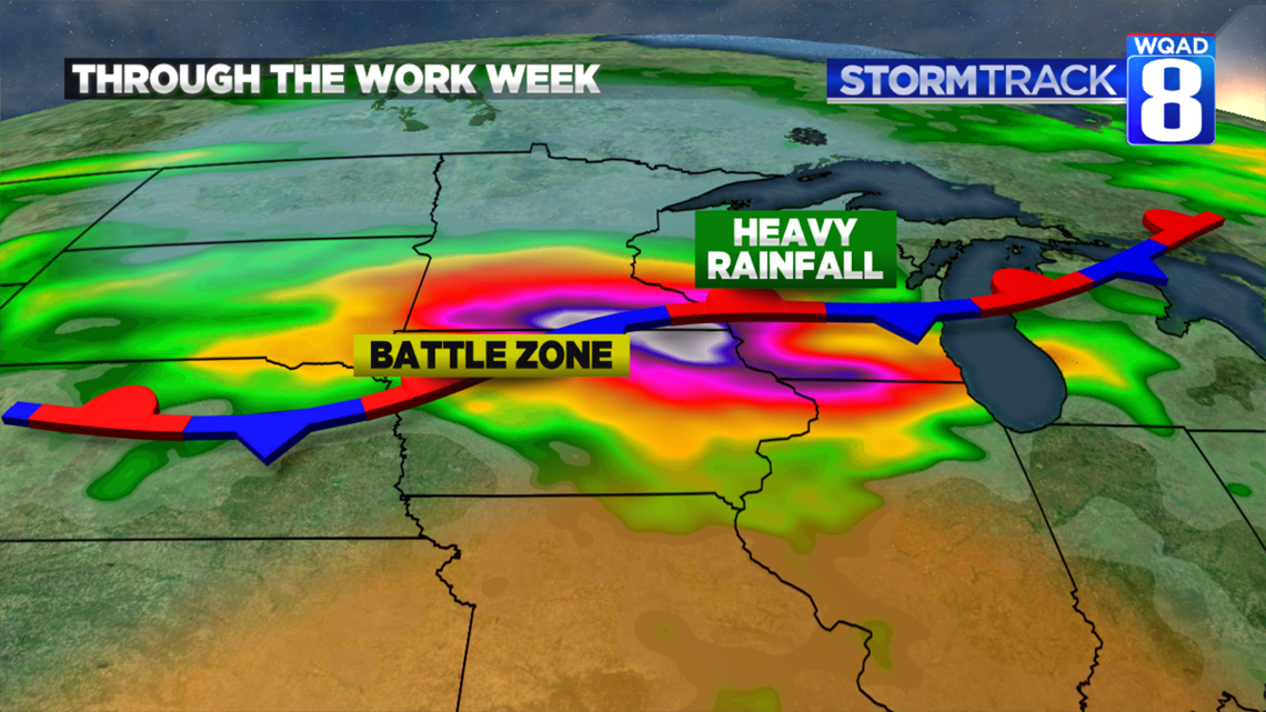
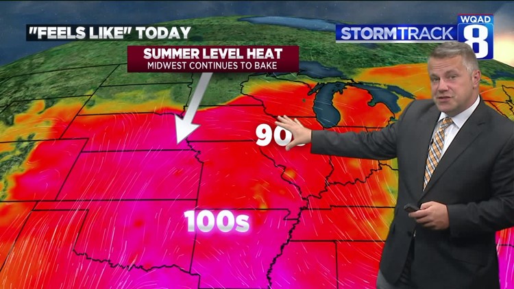
That's where the "Ring of Fire" will be located. A stationary front will keep persistent rains in Minnesota, Wisconsin, and Northern Iowa. For us, a few storms are possible but most will be to our north. We'll have a better chance of showers and a few thunderstorms Friday and Saturday when cooler air moves in.
-Meteorologist Eric Sorensen