
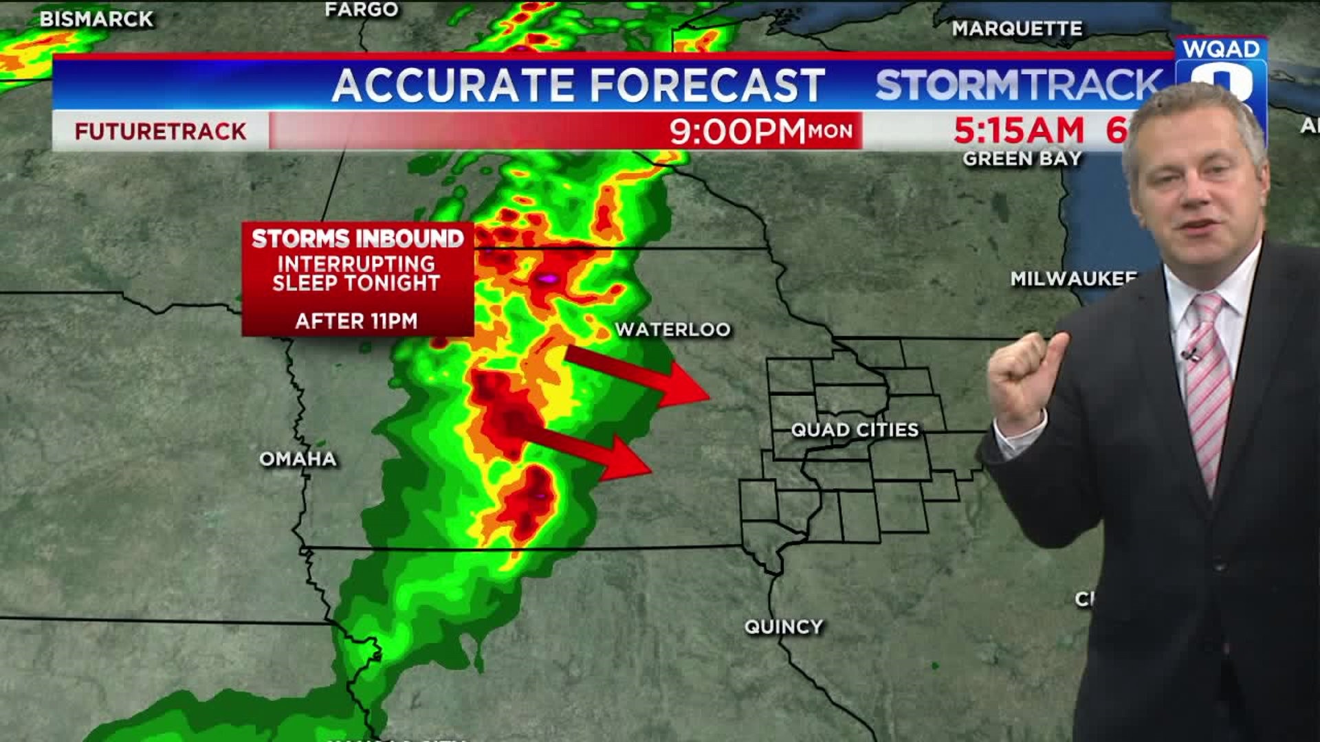

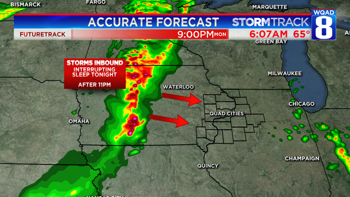
Storms may turn severe across Central Iowa this afternoon with the activity expected to march across the Hawkeye State through the evening in a weakening phase. They should get here around midnight, or shortly thereafter interrupting some sleep early Tuesday morning. After that, the next round of storms comes in on Thursday.
Parts of Northwestern Illinois received more than 5 inches of rainfall over the past three days. That has the Rock River rising and will achieve flood stage across Rock Island County by midweek. The weather pattern will chance subtly this week with a more active jet stream anticipated. This will mean that storms move at a higher rate of speed, giving us less time for prolonged, heavy rainfall.


Ready for a heat wave? Both the GFS & ECMWF model have 90+ temperatures across much of the Midwest this weekend. pic.twitter.com/Eff0R1BvHp
— EricSorensen (@ERICSORENSEN) June 11, 2018
https://platform.twitter.com/widgets.js
Confidence is building that this weekend will be a scorcher! Two of the most reliable weather models bring temperatures well into the 90s beginning Friday and lasting into the early parts of next week. There's still a chance the dome of high pressure doesn't develop as strong...but with mostly sunny skies are expected, there will be plenty of time to heat up.
-Meteorologist Eric Sorensen