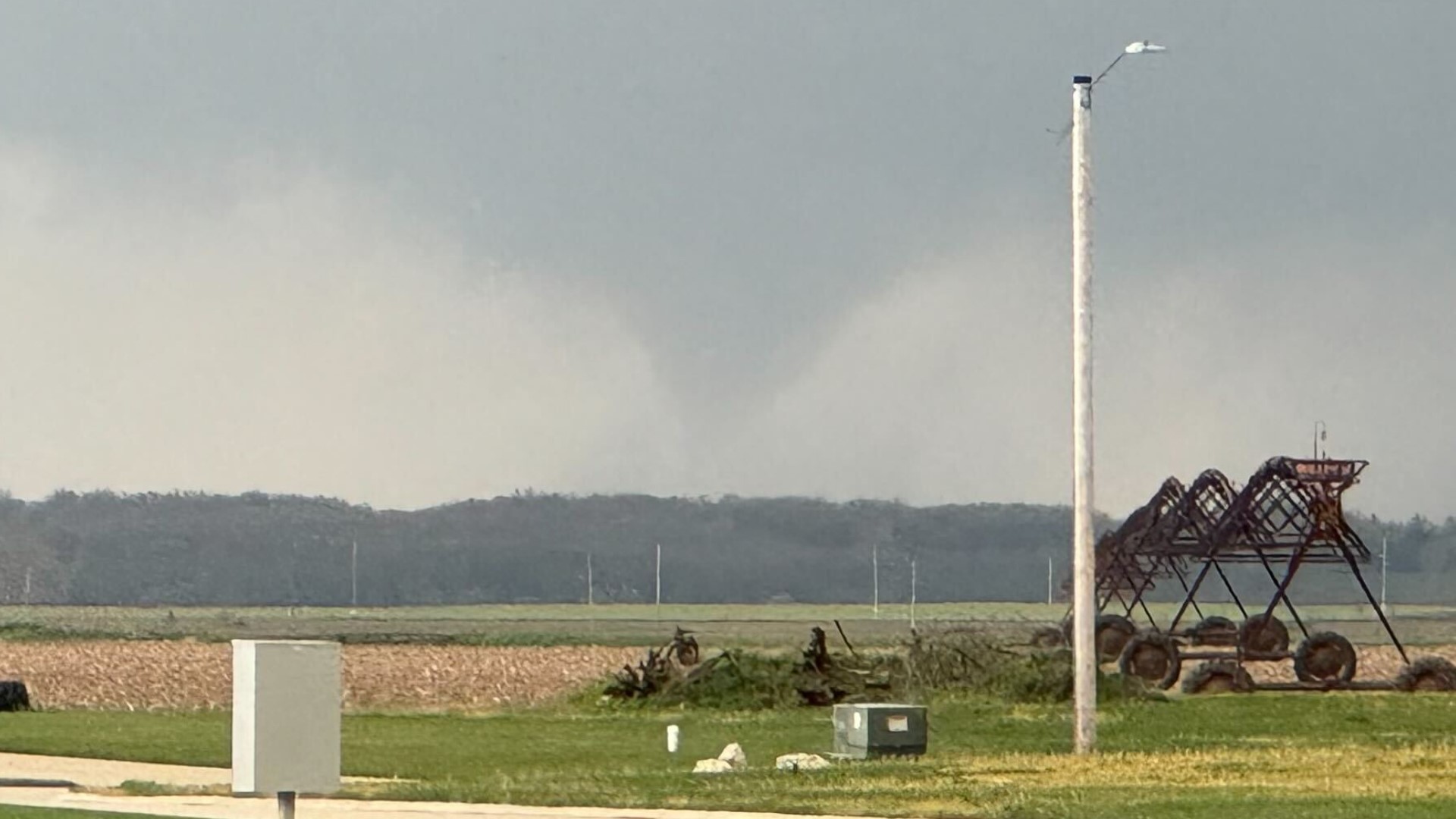
We are gearing up for another possible severe weather day in Eastern Iowa and Western Illinois. Much of the day will be spent with southerly winds bringing in more moisture and sunshine increasing the instability.

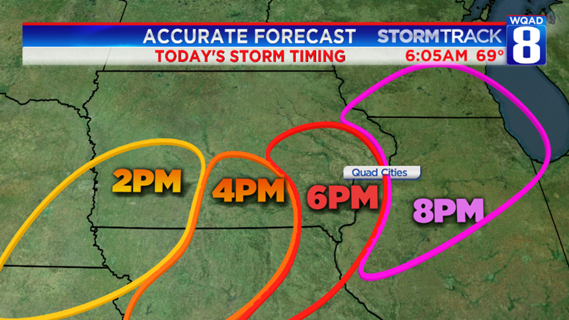
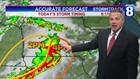
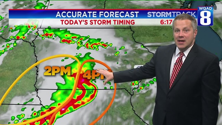
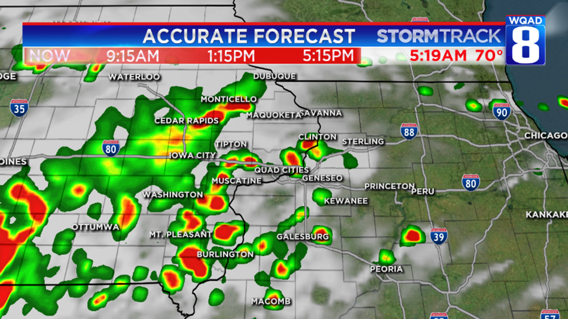
By 2pm, storms will fire up in Central Iowa, tracking eastward. They will work into southern Iowa during the peak heat of the afternoon. These storms will work into the Burlington and Quad City metro for the afternoon drive. These storms will have a moderate to high risk of damaging wind and isolated tornadoes. Below is a snapshot at our future radar which shows just isolated activity around 5pm. The worst of the weather will happen in the evening.

Be weather-aware and watch the western horizon today. Also make sure you have a way to get weather alerts!
-Meteorologist Eric Sorensen