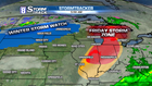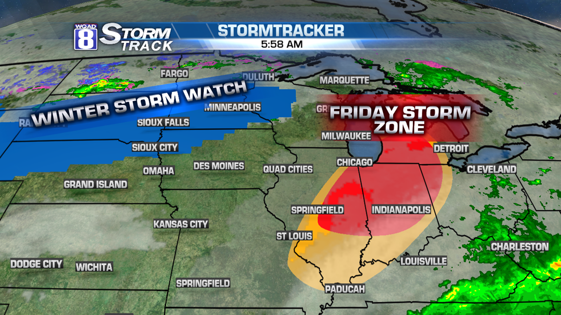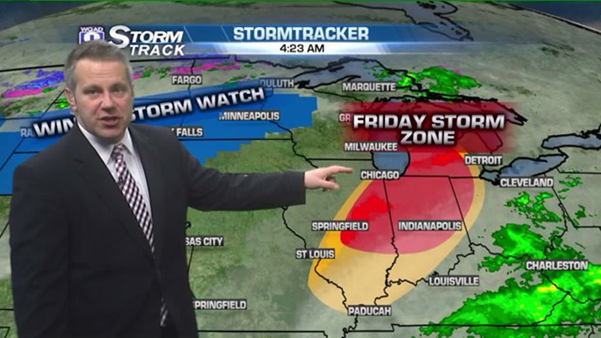
A strong storm system has already prompted the National Weather Service to issue Winter Storm Watches in eight states. Snow will overspread parts of Nebraska and South Dakota on Thursday. Heavy snow totals are expected as far east as Wisconsin by Friday night with eventual snow totals more than a foot in spots. With winds above 35 m.p.h., some blizzard conditions are likely for parts of I-90 and I-94 in Western Minnesota.
All the while, on the warm side of this storm system, severe storms are possible. On Friday, storms will fire up around noon just east of the Quad Cities. But as these storms race east along I-80, they will intensity as they get toward Chicago. For Eastern Illinois and Northern Indiana, tornadoes are possible. Cities at highest risk include Champaign-Urbana and Kankakee, Illinois, Lafayette, Kokomo, Indianapolis, South Bend, and Ft. Wayne, Indiana.
By Saturday, the entire Upper Midwest will be feeling the grips of cold air with temperatures in the middle 30s for most areas.