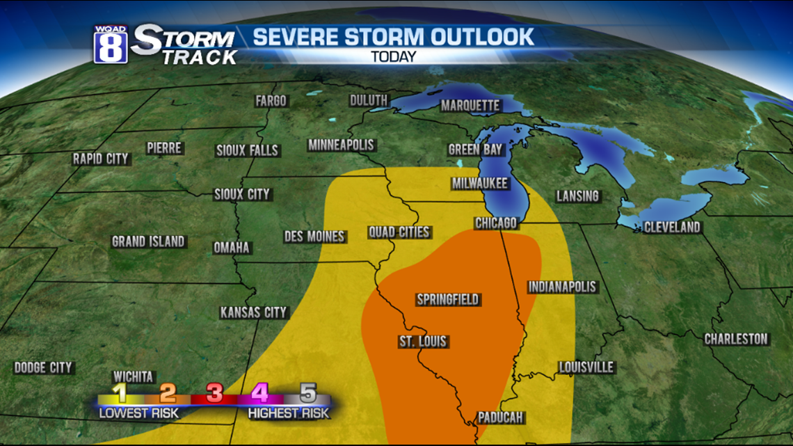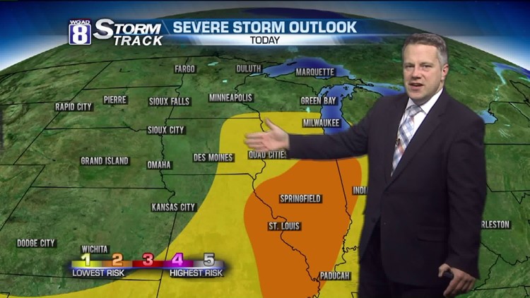
So far, so good on the storm front. However, later this afternoon a cold front will approach from the west. Some thunderstorm activity is expected after noon today. A few storms could produce nickel sized hail and winds to 55 mph as the front comes through during the evening hours. There's a small chance a few of these storms could exceed severe limits, possibly producing hail to the size of quarters and wind gusts to 60.
Eastern Iowa and Western Illinois are in a Level-1 risk of severe. That's the lowest level on our scale. A few more rambunctious storms are possible with a little more daytime heating in Central Illinois this evening.
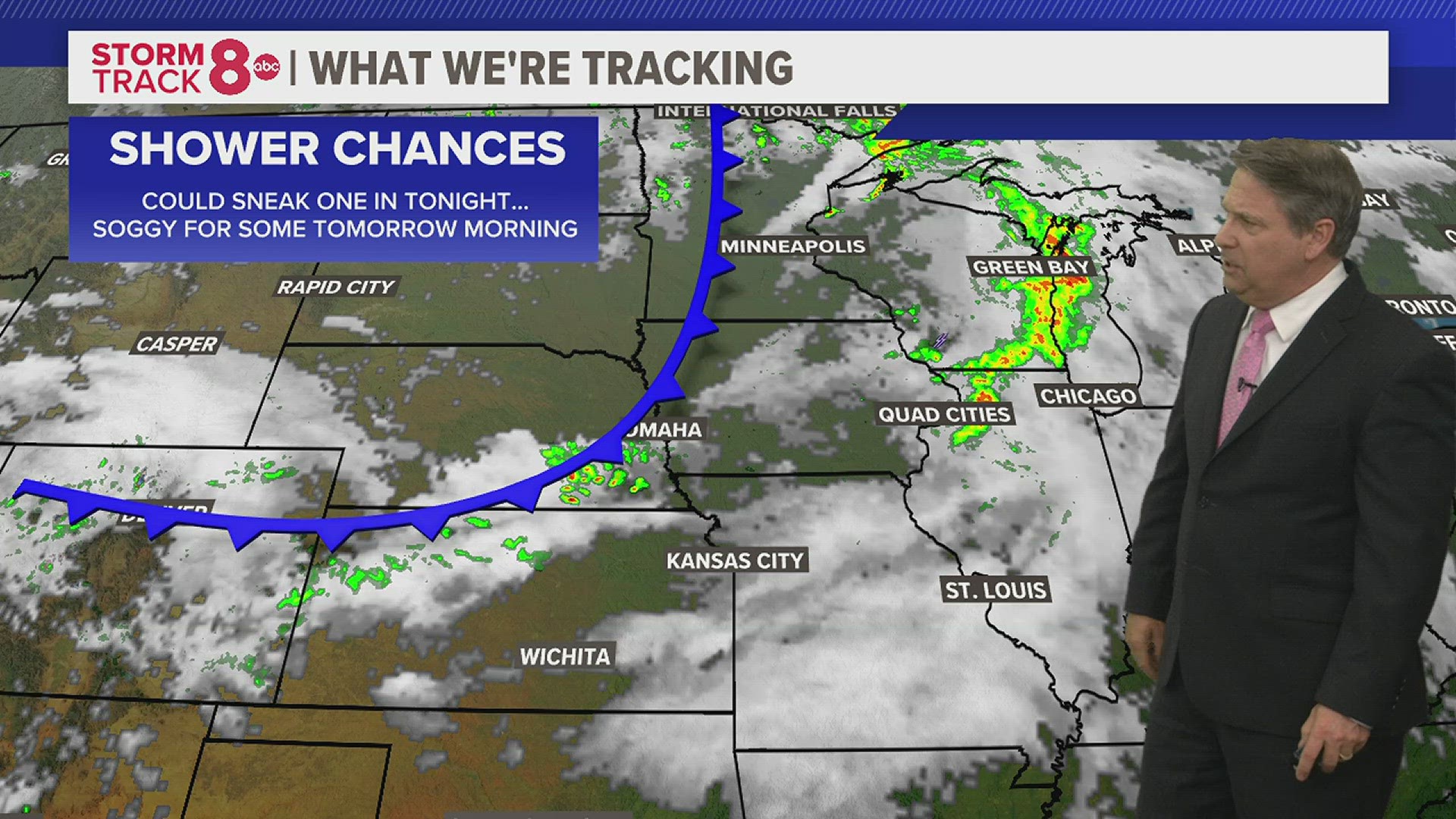
After today, no additional thunderstorms are expected until Sunday evening.
-Meteorologist Eric Sorensen