The Mississippi River expected to hit flood stage over the weekend. In preparation, the City of Davenport and the City of Rock Island is helping those who may be affected and closing roads that may become water-covered, according to a statement from the City of Davenport.
As of Thursday, March 24, 2016 the river was at 12.78 feet. By Friday it was expected to reach 13 feet and by Sunday it was expected to be at its 15-foot flood stage. The river was forecast to crest on Tuesday at 16.83 feet.
In Rock Island several water pump discharge hoses were placed around the Illinois-side of the bike path, according to a statement from the city. City staff planned to install pumps and close gatewalls as the water rises over the weekend.
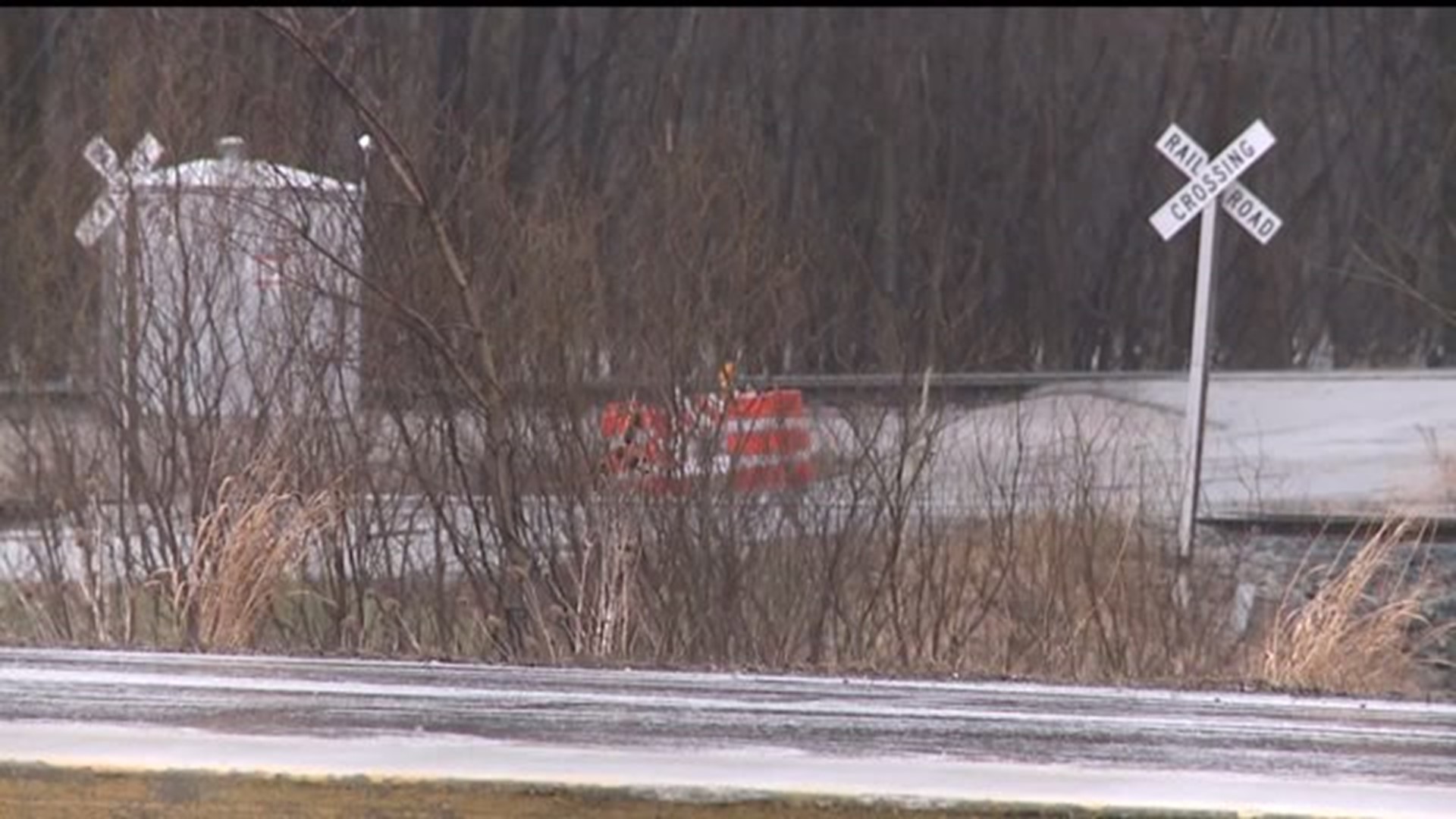
In Davenport on Thursday, South Concord Street was closed at River Drive because of high water. This came just days after the city posted high water signs in the area from River Drive to Utah Avenue.
Here's what will happen as the river rises:
- Areas of South Concord Street will be covered when the river moves up to 13 feet. Local traffic can go to South Concord, but businesses like the Compost Facility, and Nahant Marsh will be reached by taking Rockingham Road to Wapello.
- Sandbags will be available to those in the affected area. They can be picked up at the Water Pollution Plant.
- Pumps and closing gates will be set up to prevent higher water levels from backing into the storm water system in low-lying areas along Black Hawk Creek and River Drive near Marquette Street.
- Over the weekend eastbound River Drive between Marquette and Gaines Streets may be down to one lane
- Flood protection is staging at Modern Woodmen Park.
- Gaines Street will be closed to traffic at River Drive starting Thursday afternoon.
- Some of LeClaire Park and the riverfront bike path will be affected as river levels surpass 15 feet.
- Credit Island Park and the parking lot near the Marquette Boat Dock will not be reachable when the river rises.

