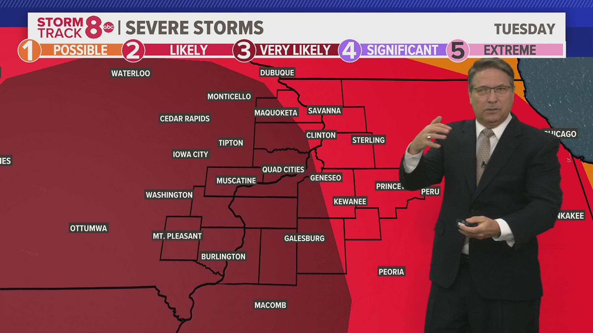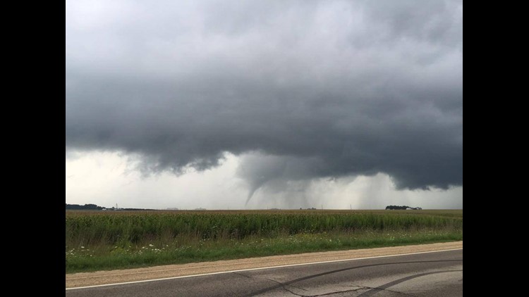


The National Weather Service reported a tornado warning at about 3:20 p.m. that was allowed to expire at 3:45 p.m. for Jones County, Iowa. The NWS had confirmed reports of a tornado over Morley, about seven miles north of Mechanicsville. They also received confirmed reports of a tornado over Olin about five minutes later, and it was moving northeast at 20 miles per hour.
The local emergency manager reported trees down in Olin because of high winds associated with the storm. and a trained spotter reported quarter-inch-sized hail east of Wyoming, Iowa. A trained spotter reported the storms left three to four inches of standing and running water on roads, and full ditches, in Maquoketa.
An emergency manager in Danville, in Des Moines County, reported tree branches 10 to 12 inches in diameter had been blown down during the storms.
A severe thunderstorm warning expired at 5:30 p.m. after it lasted about an hour for Henry, Rock Island and Mercer counties in Illinois as well as for Scott, Muscatine and Louisa counties in Iowa.
Download the free StormTrack 8 Weather App — for iOS, click here and for Android, click here
Download the free News 8 App — for iOS, click here and for Android, click here