
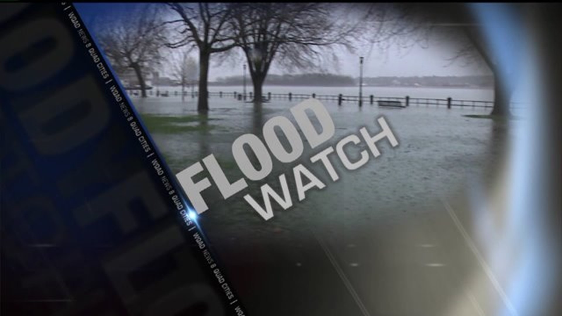
Several riverfront locations were under water as the Mississippi River came out of its banks in several areas.
"Recent rainfall over the upper Midwest is bringing minor to moderate flooding to portions of the Mississippi River," said a statement from the National Weather Service.
Flood warnings were issued for most locations along the river from Dubuque at Lock & Dam 11 and continuing downstream all the way to the Gladstone area at Lock & Dam 18.
At Dubuque, the river was at 18.7 feet Sunday evening, May 11 and rising. Flood stage there is 17 feet. At 18 feet, water overtops the levee at East Dubuque Flats levee. The river was forecast to fall to 18.3 feet Tuesday morning.
At Camanche, the river was at 18.3 feet and steady at 8:30 a.m. Sunday; flood stage there is 17 feet. At that level, water affects low-lying homes in Albany. The river was expected to rise to 18.3 feet by Monday, May 12 before it begins to fall.
At Fulton/Lock & Dam 13, the Mississippi was at 16.8 feet and steady at 8 p.m. Sunday. The flood stage is 16 feet. At that stage, the water affects a few houses at Thomson. The river was forecast to continue to rise to 16.9 feet by Monday morning, May 12 before falling below flood stage Saturday morning.
At LeClaire and at Lock & Dam 14, the river was at 11.4 feet and steady as of 6 p.m. May 11. Minor flooding was occurring, and was expected to rise to 11.8 feet by Monday morning, May 12. At 11 feet, water affects 245th Avenue in Pleasant Valley.
The river was at 16.6 feet and steady at Rock Island/Lock & Dam 15 at 8 p.m. Sunday, May 11. Flood stage is 15 feet, and the river was forecast to rise to 16.7 feet Monday evening, May 12 before it begins to fall. At 16 feet, water affects Credit Island Lane in Davenport and the 4700 block of River Drive in Moline. Water was already at the base of the flood wall gates at the downtown Rock Island riverfront Friday morning, and city officials confirmed 18th Avenue was closed at Potter's Lake. The Great River Trail bike path was also closing Friday morning, and Rock Island crews were installing pumps and closing gatewells along the Mississippi River.
The river continued to rise in Illinois City at Lock & Dam 16, where water had surpassed the 15 foot flood stage on Friday, May 9 and rose to 15.8 feet by Sunday night. The river was forecast to rise to 16.3 feet by Wednesday, May 14. At 16 feet, water would affect the park at Andalusia.
At Muscatine, the Mississippi River was at 17.2 feet and steady as of 8:15 p.m. Sunday, May 11. The river was forecast to rise to 17.9 feet Tuesday evening, May 13 and then begin to fall. Flood stage there is 16 feet where water affects most of the parking lot at Riverside Park.
At New Boston/Lock & Dam 17, flood stage is 15 feet and the river was at 16.6 feet at 8 p.m. Sunday. The river was forecast to rise to 17.3 feet by Wednesday evening, May 14, and then begin to fall.
Minor flooding was happening along the Mississippi River at Gladstone/Lock & Dam 18, where the stage was 12 feet and steady Sunday morning. Flood stage there is 10 feet. The river was forecast to rise to 12.3 feet by Wednesday morning, May 14, then begin falling.
The Mississippi River at Burlington had risen to 16.8 feet by 9 p.m. Sunday and was steady. The flood stage is 15 feet and the water was expected to rise to 17 feet by Tuesday. At 17 feet water affects the Port of Burlington parking lot.
At 9 p.m. Sunday, the Mississippi River at Gregory Landing was at 14.5 feet and steady. The flood stage there is 15 feet. Minor flooding was forecast to occur on Tuesday and continue rising to 16.1 feet by Thursday evening.
Download the free News 8 App – for iOS, click here and for Android, click here