
Flood watches and warnings were issued for many area communities along the Rock River where the threat of flooding caused by ice jams remained high.
“Until the ice leaves the river, the risk of ice jam flooding remains high on the lower Rock River,” said a report from the National Weather Service office in Davenport.
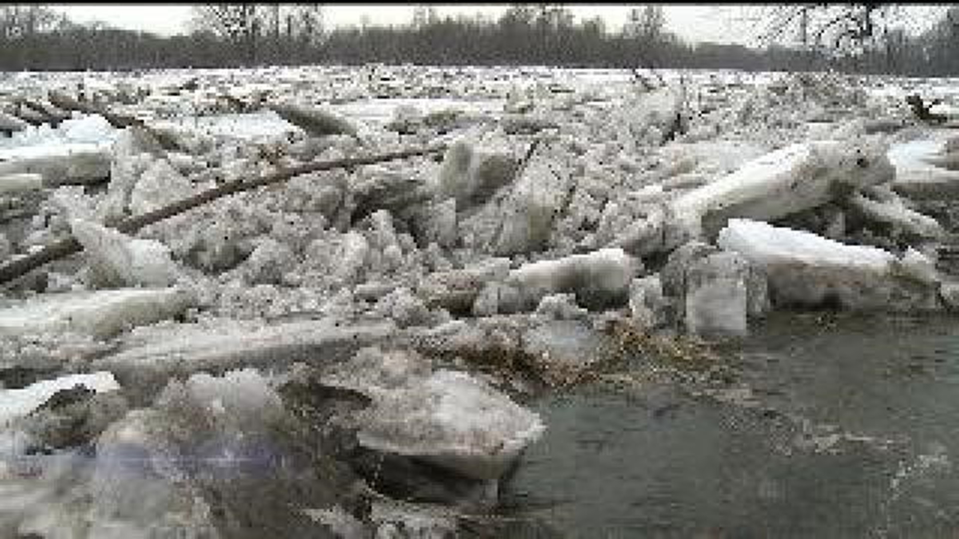
A large ice jam was still located on the rock between the bend at Como to near the Highway 30 bridge. New rises near Joslin also indicated possible ice jams forming again in that area. More ice jams were reported Monday afternoon, March 17, 2014 at Moline Road south of Mellots Road, and between the south side of Lyndon through the first bend in the river downstream.
“Ice jams can create very rapid changes in water levels on the river,” the NWS reported.
The NWS issued a flood warning for the Rock River at Como until further notice. The rivier was 2.1 feet above flood stage, and major flooding was forecast to continue at that location. The river was only expected to fall from 12.1 to 12.0 feet Tuesday morning.
A flood warning also continues until Friday for the Rock River near Joslin. Minor flooding was forecast at Joslin, primarily for agricultural land and possibly at Lundeen’s Landing campground.
A flood watch was in effect through Wednesday evening, March 19, for communities near the Rock River in Henry, Rock Island and Whiteside counties in Illinois. A flood advisory was in effect until Monday evening for the Rock River at Dixon in Lee County.