The National Weather Service in the Quad Cities says anyone who prepared for Wednesday’s storms was smart, even if the storms didn’t hit your location.
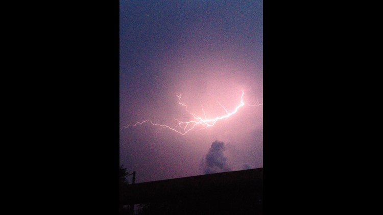
Severe storms that included funnel clouds and left behind damage struck counties in the WQAD viewing area just north of the Quad Cities during the late afternoon and early-evening hours Wednesday, June 12, 2013.
The NWS sent a storm survey team to survey damage Thursday, June 13 from confirmed tornadoes that struck the night before in Jo Daviess and Carroll counties in northwest Illinois.
The NWS predicted the front, along which the storms would form, would be stationary along Interstate 80 in the Quad Cities.
“This process occurred, but the front was NOT stationary as expected,” according to a statement from the NWS Quad Cities staff.
Instead the front lifted north of Highway 20. That minor shift north “saved the Quad cities and other nearby metro areas from potential significant storm danger,” the NWS staff said.
They were also quick to point out that it is always best to be prepared when severe storms are forecast.
“If you prepared for the storm, thought about how you would receive warnings, and where you would take shelter, your time was not wasted,” their statement said, “You’ll need to know those things again sometime, and your life may depend on it.”
Download the free News 8 App – for iOS, click here and for Android, click here